Do you have a survey or mapping need: Environmental, Archaeological or Construction & Development?
Specialists in survey & mapping data acquisition, analysis and interpretation for the environmental, archaeological and development / construction sector.
We have extensive experience of undertaking survey & mapping services for the public & private sector.
Explore Previous Projects
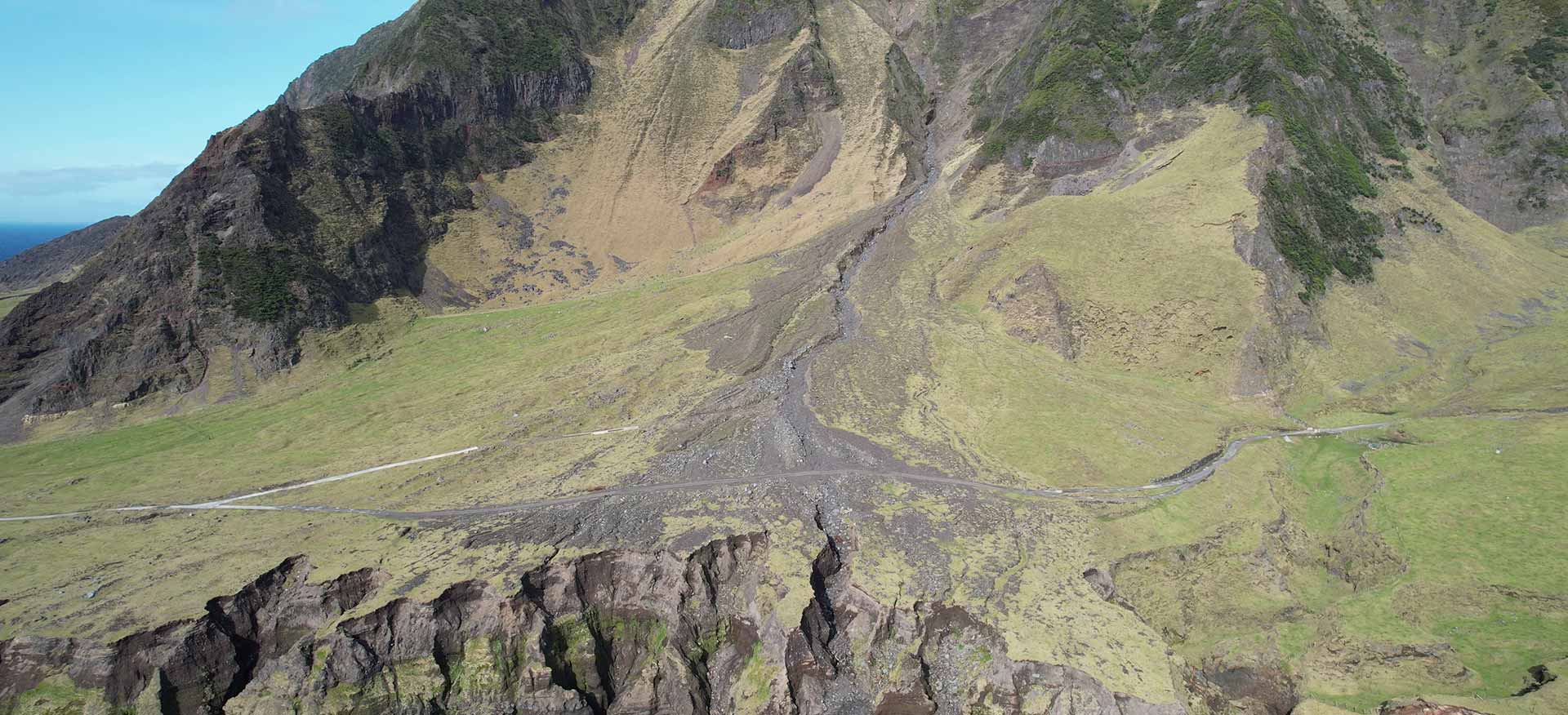
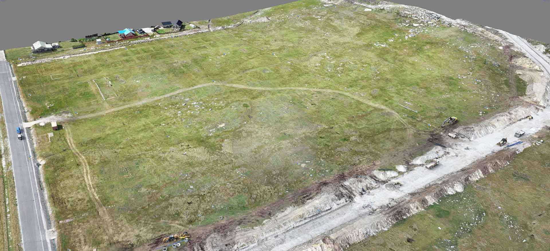
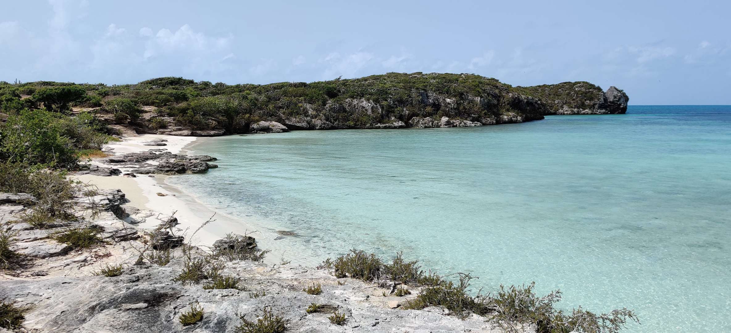
Explore our previous work on Tristan da Cunha, the Turks & Caicos Islands, the Falkland Islands and more.
Our Vision
To be the leading provider of bespoke, cutting edge, end to end survey and mapping solutions.
Our Core Values
Our core values at Aquarius Survey & Mapping are trust, quality, knowledge, innovation and service
Testimonials from projects we’ve worked on
“On this Darwin + Coastal Habitat Mapping Project, Neil and the team have provided a valuable snapshot of what South Georgia looks like today; it may provide clues to the stresses it is under, and perhaps even more excitingly, the ability to repeat and expand this work over time, so that GSGSSI can begin to understand temporal changes and use this knowledge to inform management decisions to better protect South Georgia.”
“Neil’s work for JNCC to support the ICES Working Group on Deep-water Ecology (WGDEC) was invaluable. His expertise on data management and GIS mapping was vital to support the management of new datasets coming into the group in 2021, and his strong chairing and communication skills ensured the smooth set up of and successful outputs from a new data Quality Assurance group.”
“Neil has been a welcome highly valued addition to a team with high pressure turnarounds, generating content that needs to be scientifically robust and accurate. Neil’s ability to grasp technical detail and deliver to tight deadlines in addition to his upbeat and warm manner has made him a valuable addition to our environmental impact assessment work in Ireland.”
“Neil took on a demanding project which involved creating over 1,500 maps in a semi-automated way. He was flexible and worked around project demands, solved GIS problems, and delivered outstanding map layers.”

