UAV Topographic Mapping of Bennetts Paddock for an Archaeological Survey
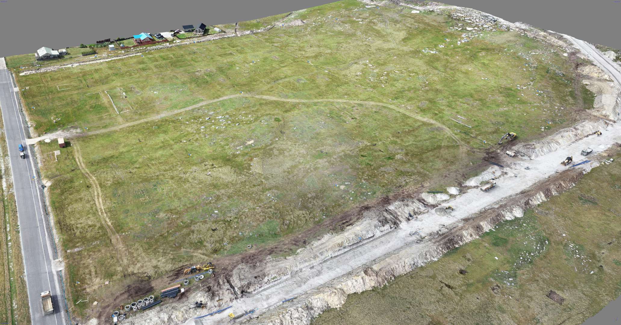
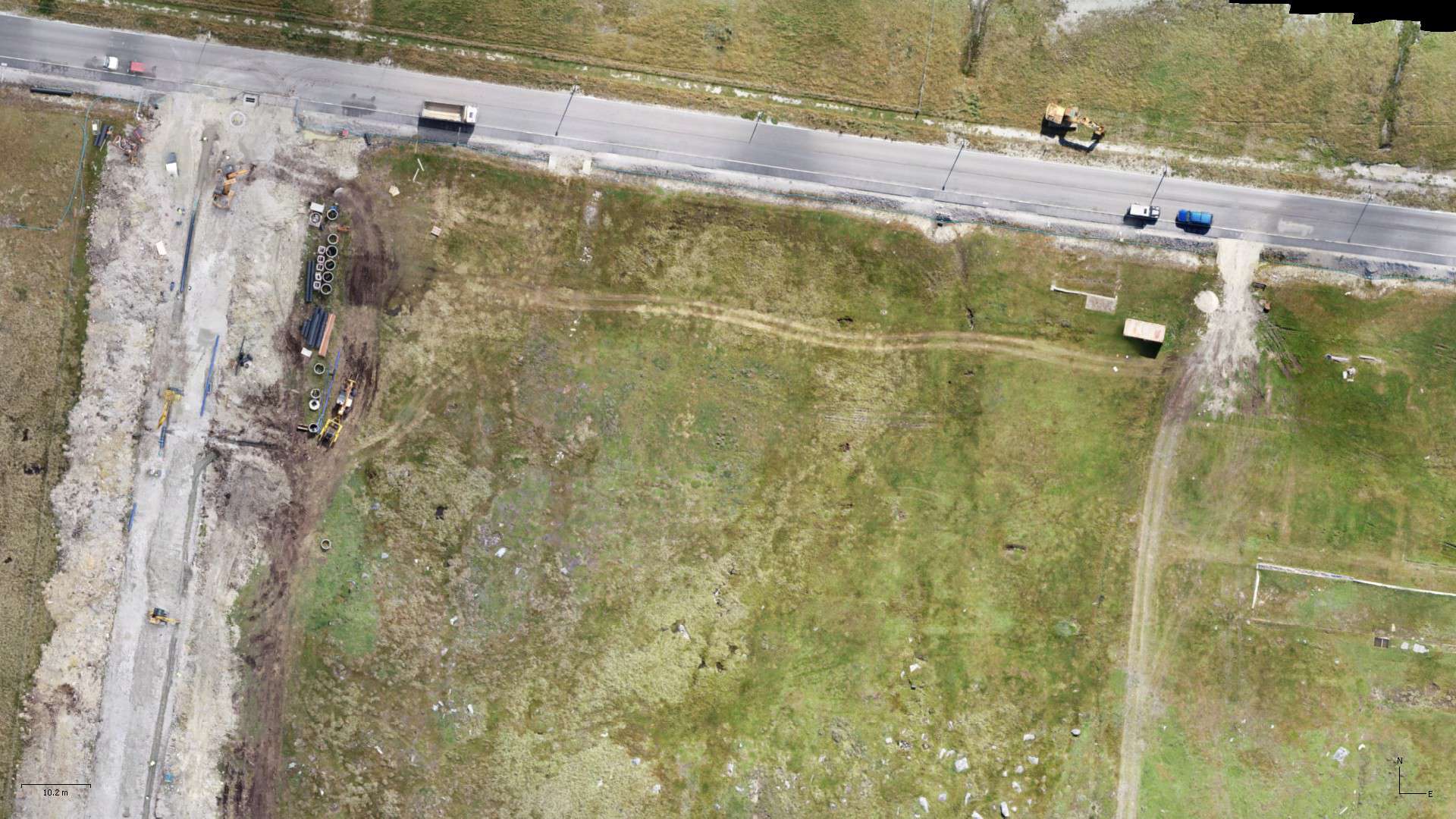
Aquarius Survey & Mapping led an Unmanned Aerial Vehicle (UAV) based topographic survey of Bennetts Paddock on the west side of Stanley, the islands’ administrative capital, as part of archaeological work undertaken by the Cambridge Archaeological Unit (CAU) in February/March 2020. Conducted with SAERI (Falklands) Ltd (SFL), the programme was commissioned by the Falkland Islands Museum & National Trust (FIMNT) and Falkland Islands Government (FIG) in advance of residential housing construction. The site was part of a former British military camp established during World War II, and its remains were reused during the conflict in 1982 as part of the town’s temporary Argentine military defences.
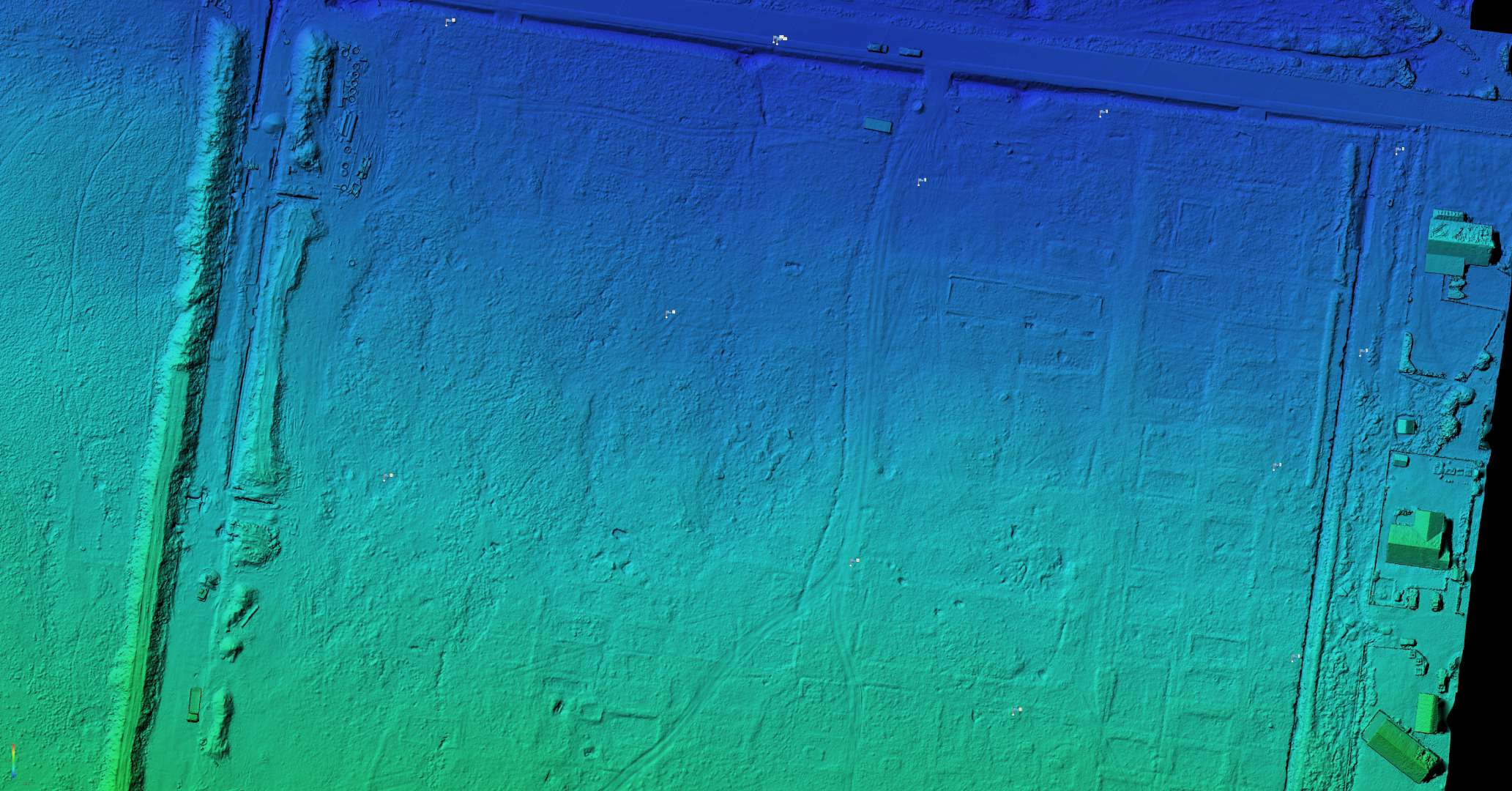
Neil Golding worked with staff from SFL, alongside the archaeological directors (Dr Marcus Brittain, Senior Archaeologist at the CAU, University of Cambridge, and Dr Timothy Clack, Chingiz Gutseriev Fellow in Archaeology at Oxford University). The FIG Public Works Department provided the heights for the deployed Ground Control Points. The resulting Digital Elevation Model was tied into a ground survey undertaken by SafeLane Global looking for unexploded ordinance.
The remains of earthworks and concrete foundations were visible within the paddock, highlighting its prior use as part of ‘Falklands Camp’ and home to Task Force 122 from 1942 up to March 1944. This housed at least 1840 servicemen of the West Yorkshire Regiment’s 11th Battalion, effectively doubling the size of the islands’ population. Documentary records include a scaled map of the camp drafted in 1943 but which provided little information concerning the function of its buildings and other illustrated features. Over several decades more than two-thirds of land over which the camp was sited has been redeveloped without any archaeological record; the archaeological investigation of Bennett’s Paddock presented a final opportunity to document its material remains and to further understand this important historical location. You can read more about the Bennetts Paddock archaeological project here.
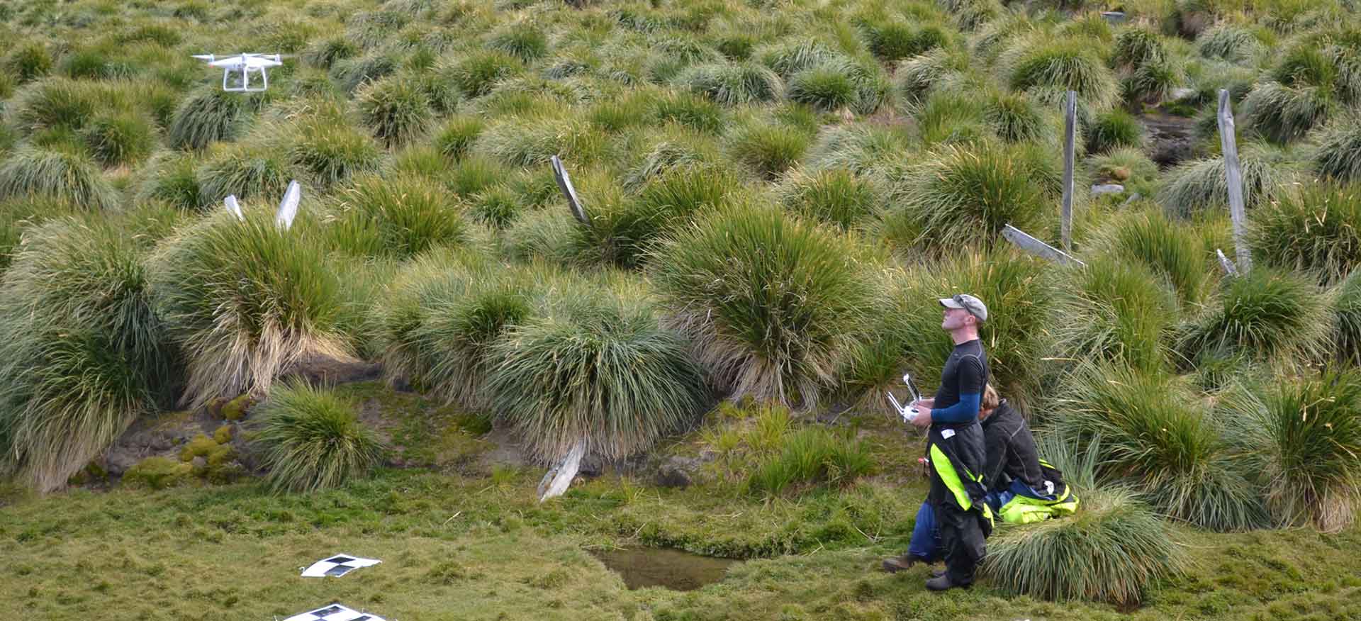
Images and extracts from the UAV mapping products can be seen below in the project gallery.
Project Details
Working with SAERI (Falklands) Ltd (SFL) and Cambridge Archaeological Unit (CAU) on behalf of the Falkland Islands Museum & National Trust (FIMNT) and Falkland Islands Government (FIG).
One month.

