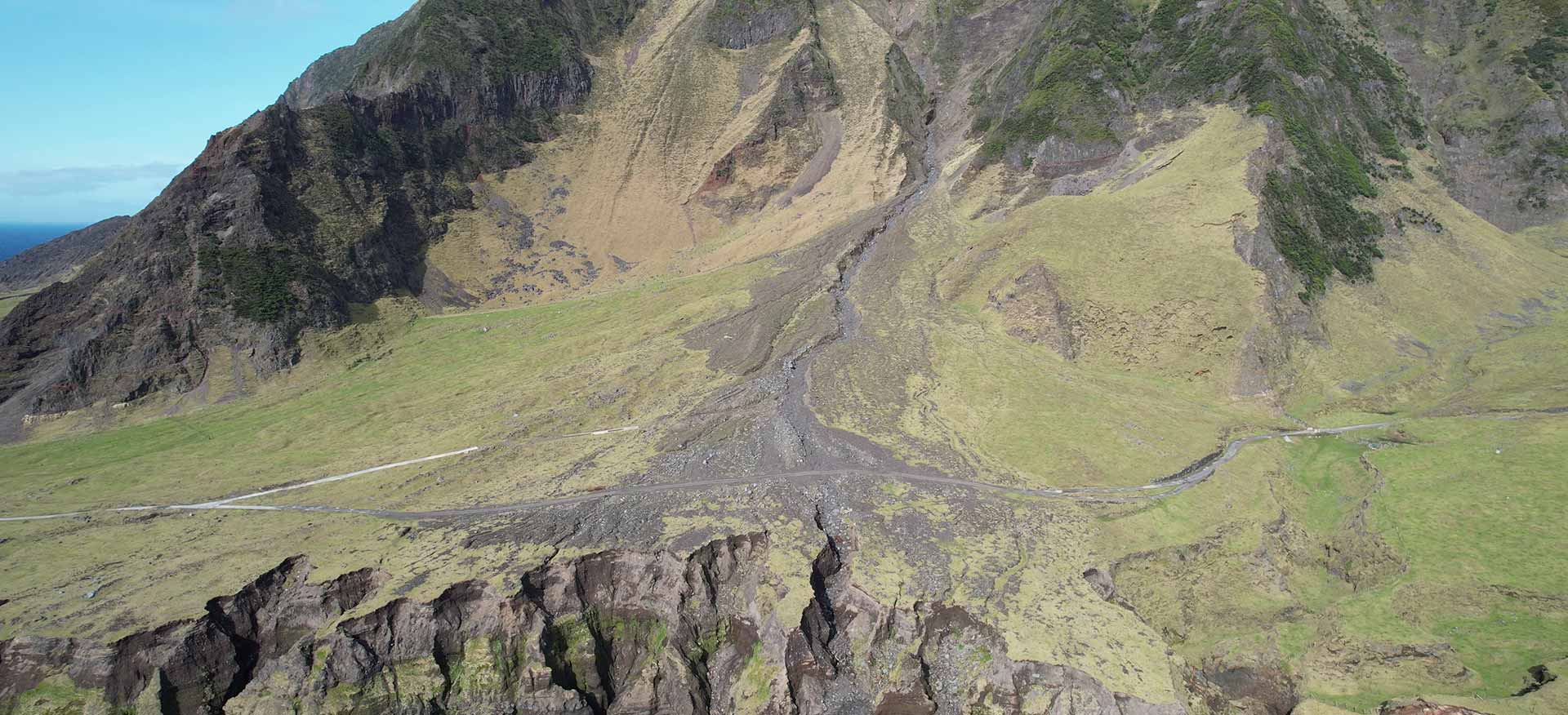
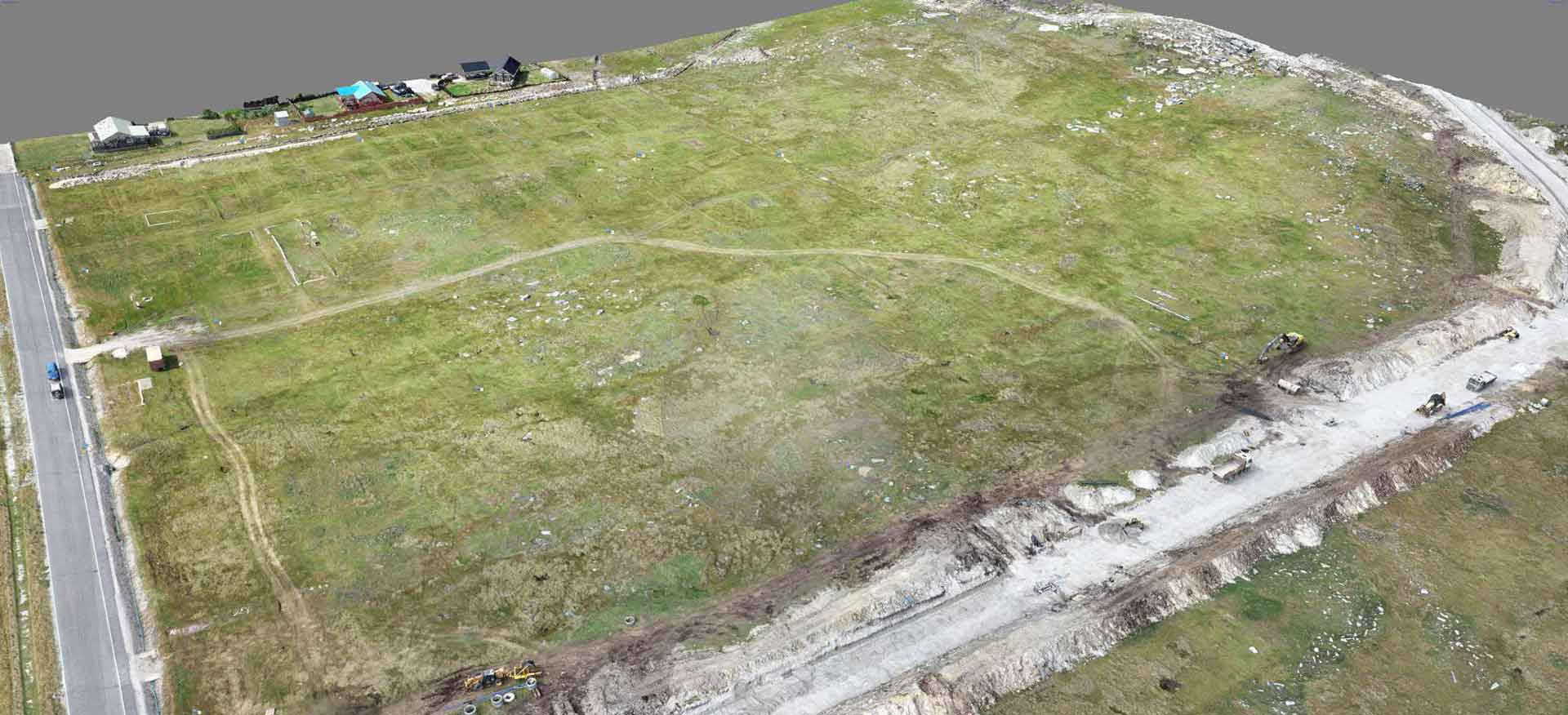
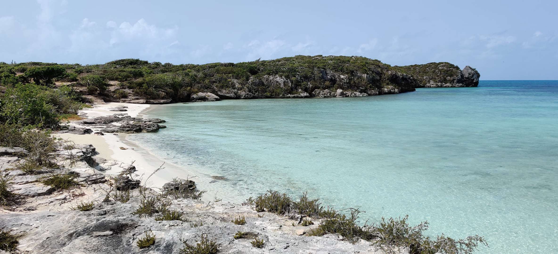
“I established Aquarius Survey & Mapping (ASM) in 2019 when I recognised the need for high quality habitat mapping created from unmanned aerial vehicle (UAV) and satellite imagery for the conservation, environmental and development sector. Under ASM, I have since led UAV mapping projects in the UK and across several UK Overseas Territories including Tristan da Cunha, St Helena, Turks & Caicos and the Falkland Islands, flying a variety of UAVs and payloads, logging over 145 hours of flying and nearly 600 missions.”
Neil Golding
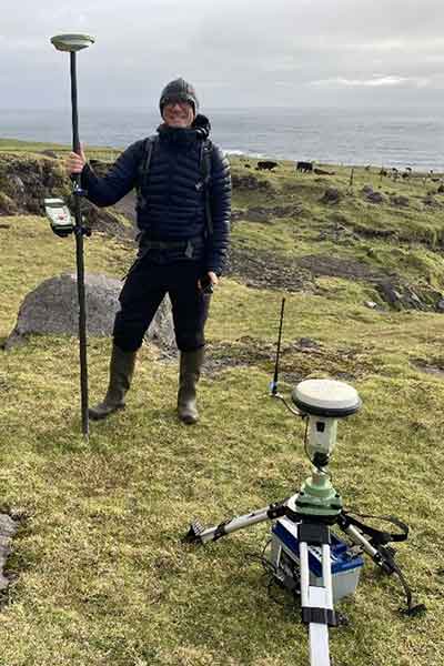
Neil Golding, Aquarius Survey & Mapping
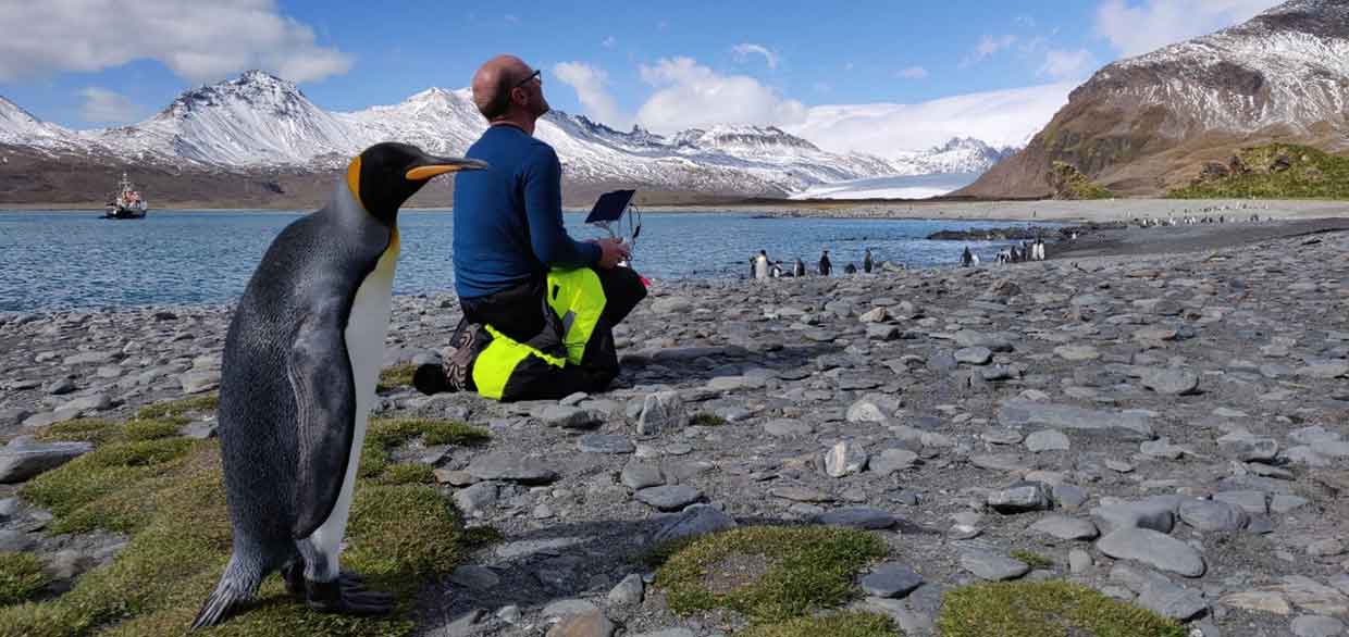
Neil Golding, drone mapping in South Georgia. Photo credit: Oli Prince
My relevant experience extends far beyond UAV and satellite mapping. As a marine biologist by training, I honed my expertise as a marine and geospatial scientist at the Joint Nature Conservation Committee, where I spent 16 years providing service to the public sector.
I take pride in my strong stakeholder management, facilitation and communication skills, and have 23 years of project management experience. I thrive in collaborative environments, having previously chaired the Joint NAFO/ICES Working Group on Deepwater Ecology for five years, providing recommendations for management measures to protect vulnerable marine ecosystems (VMEs).
Under ASM, I have undertaken various deep-sea video analysis contracts using novel online annotation tools as well as completing inshore survey work in the Falkland Islands with the Shallow Marine Survey Group (SMSG) as part of the new port development Environmental Impact Assessment project. As a skilled scientific diver, with HSE Scuba and PADI Divemaster qualifications I formed part of the JNCC Dive Team involved in marine monitoring dive surveys with the statutory nature conservation bodies. During my time in the Falklands, I assisted the SMSG with various scientific diving activities.
In recent years, ASM has undertaken Appropriate Assessments (AA) for the potential impacts of various plans and projects on Special Areas of Conservation (SAC) and Special Protection Areas (SPAs) in the Republic of Ireland.
Explore Previous Projects
Explore our previous work on Tristan da Cunha, the Turks & Caicos Islands, the Falkland Islands and more.
Testimonials from projects we’ve worked on
“On this Darwin + Coastal Habitat Mapping Project, Neil and the team have provided a valuable snapshot of what South Georgia looks like today; it may provide clues to the stresses it is under, and perhaps even more excitingly, the ability to repeat and expand this work over time, so that GSGSSI can begin to understand temporal changes and use this knowledge to inform management decisions to better protect South Georgia.”
“Neil’s work for JNCC to support the ICES Working Group on Deep-water Ecology (WGDEC) was invaluable. His expertise on data management and GIS mapping was vital to support the management of new datasets coming into the group in 2021, and his strong chairing and communication skills ensured the smooth set up of and successful outputs from a new data Quality Assurance group.”
“Neil has been a welcome highly valued addition to a team with high pressure turnarounds, generating content that needs to be scientifically robust and accurate. Neil’s ability to grasp technical detail and deliver to tight deadlines in addition to his upbeat and warm manner has made him a valuable addition to our environmental impact assessment work in Ireland.”
“Neil took on a demanding project which involved creating over 1,500 maps in a semi-automated way. He was flexible and worked around project demands, solved GIS problems, and delivered outstanding map layers.”

