Undertaking deep sea video analysis for the JNCC from the Faroe-Shetland Sponge Belt
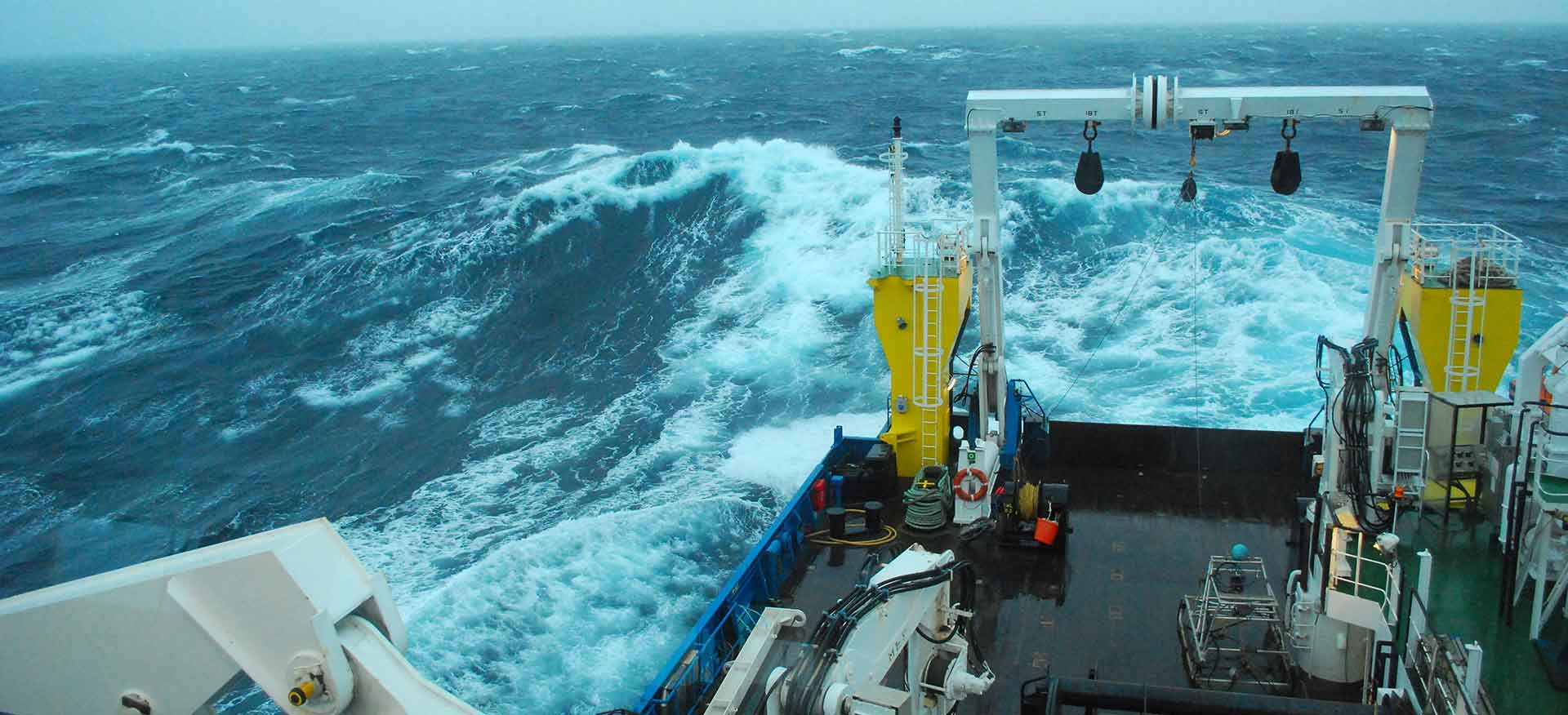
Aquarius Survey & Mapping have recently completed a contract for the JNCC analysing deep-sea video imagery from the Faroe-Shetland Sponge Belt, off the north coast of Scotland.
Unmanned Aerial Vehicle (UAV) Habitat Surveillance Programme for the Peaks National Park, St Helena
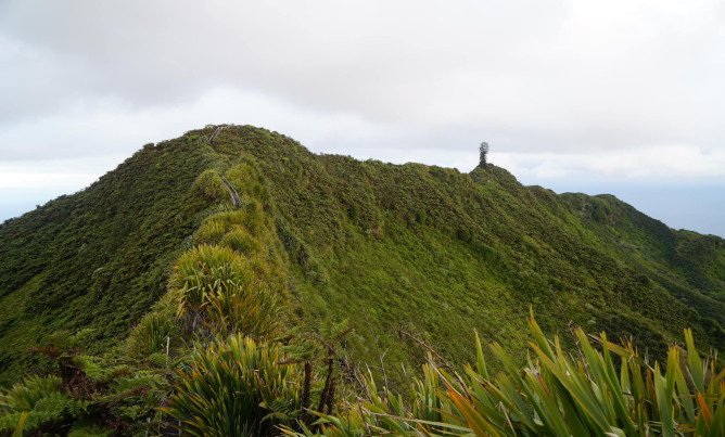
Aquarius Survey & Mapping are leading a project in partnership with SFL to deliver a UAV survey specification and provide image processing capabilities to St Helena Government (StHG)

