Survey & Mapping Services
Survey & Mapping Services
Acquire, Process, Interpret & Share
Find out how we can help
Get In Touch
Find out how we can help with your Survey & Mapping requirements
Clients, project partners and collaborators
Some of the clients, project partners and collaborators we’ve worked with









About Us
Specialists in survey and mapping data acquisition, analysis and interpretation for the environmental, archaeological and development/construction sector.
Our Services
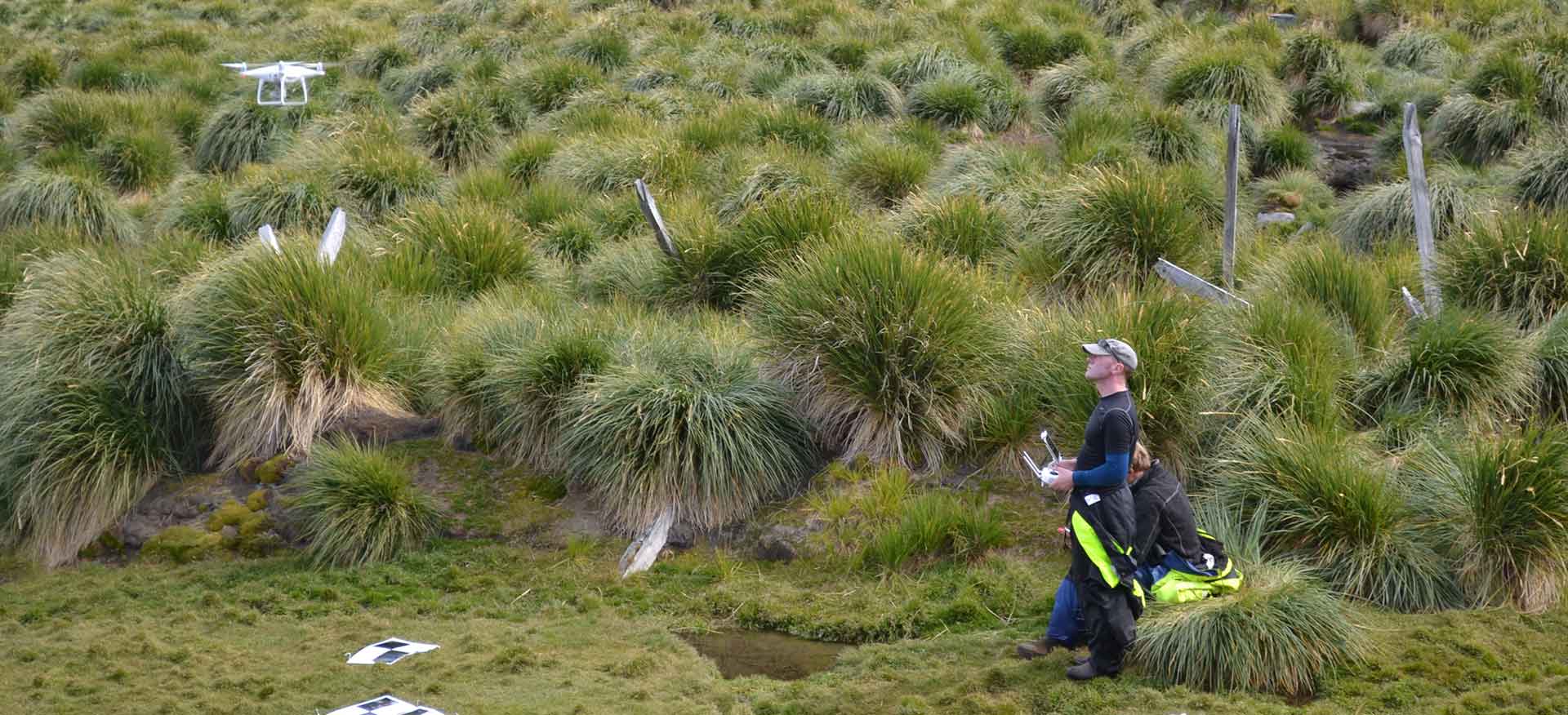
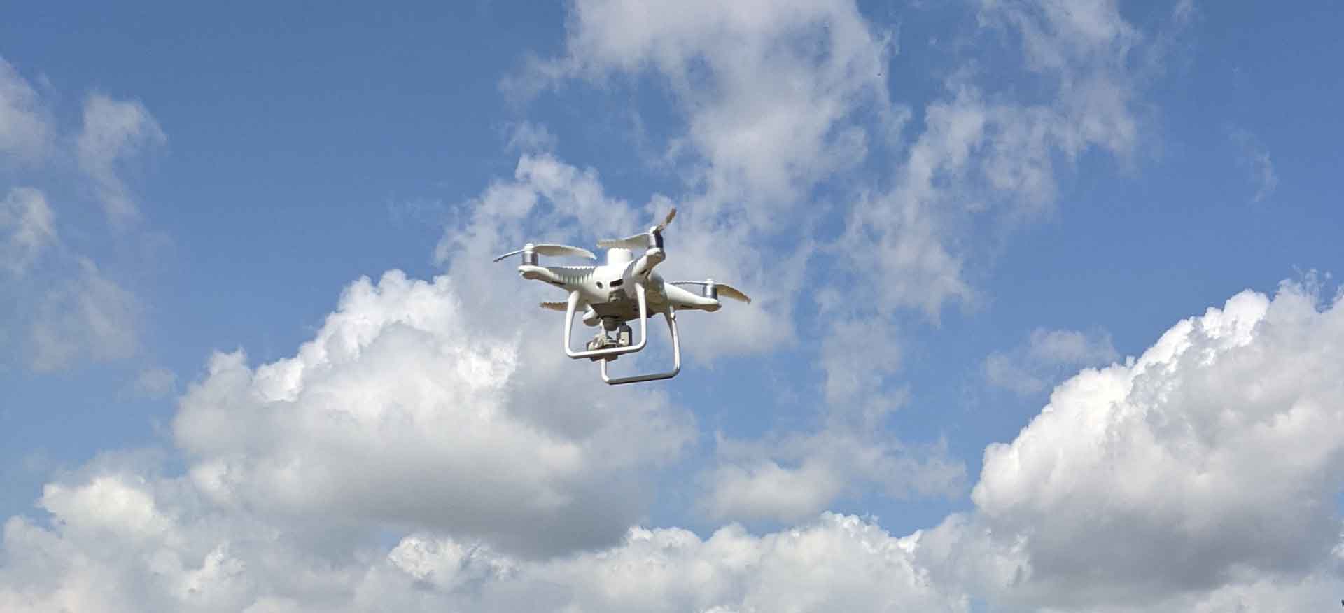
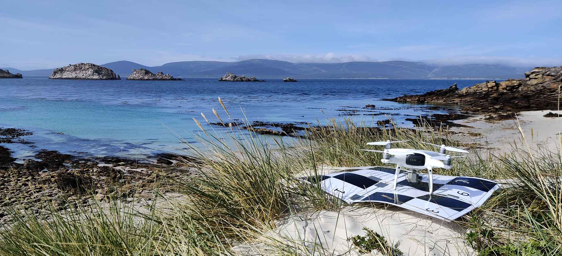
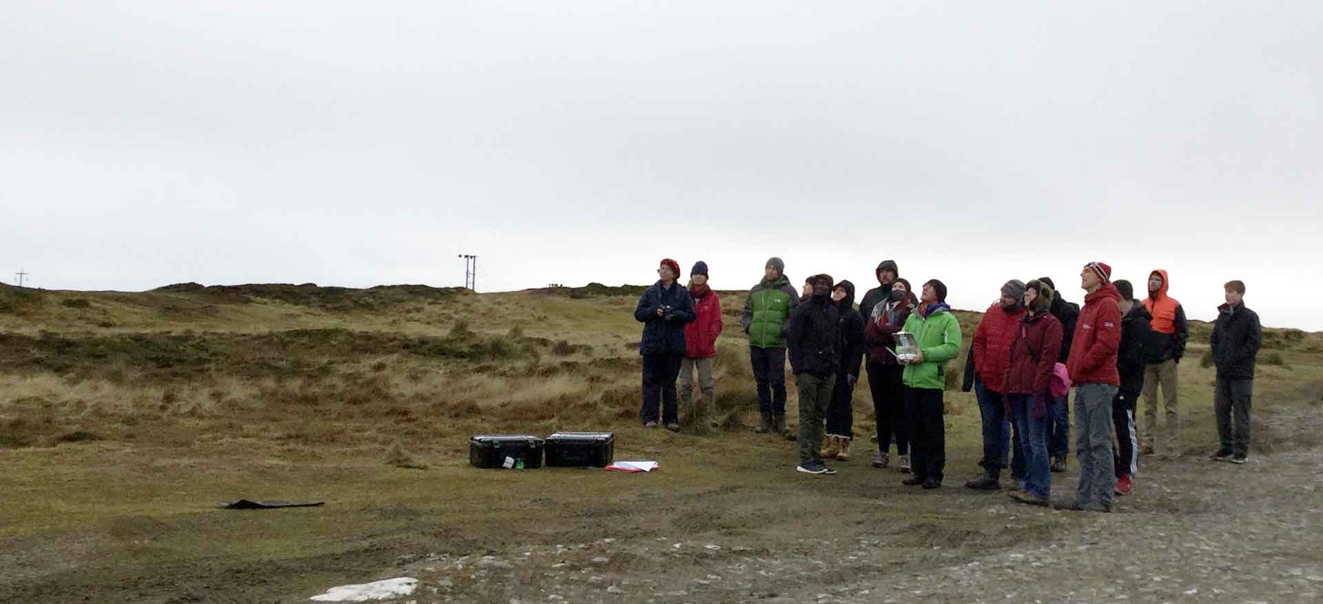
- UAV-based photogrammetry surveys
- UAV-based topographic surveys
- Habitat/landcover modelling & mapping
- GIS and geospatial analysis
- Marine spatial planning & implementation
- Bespoke training & workshop facilitation
- Project management
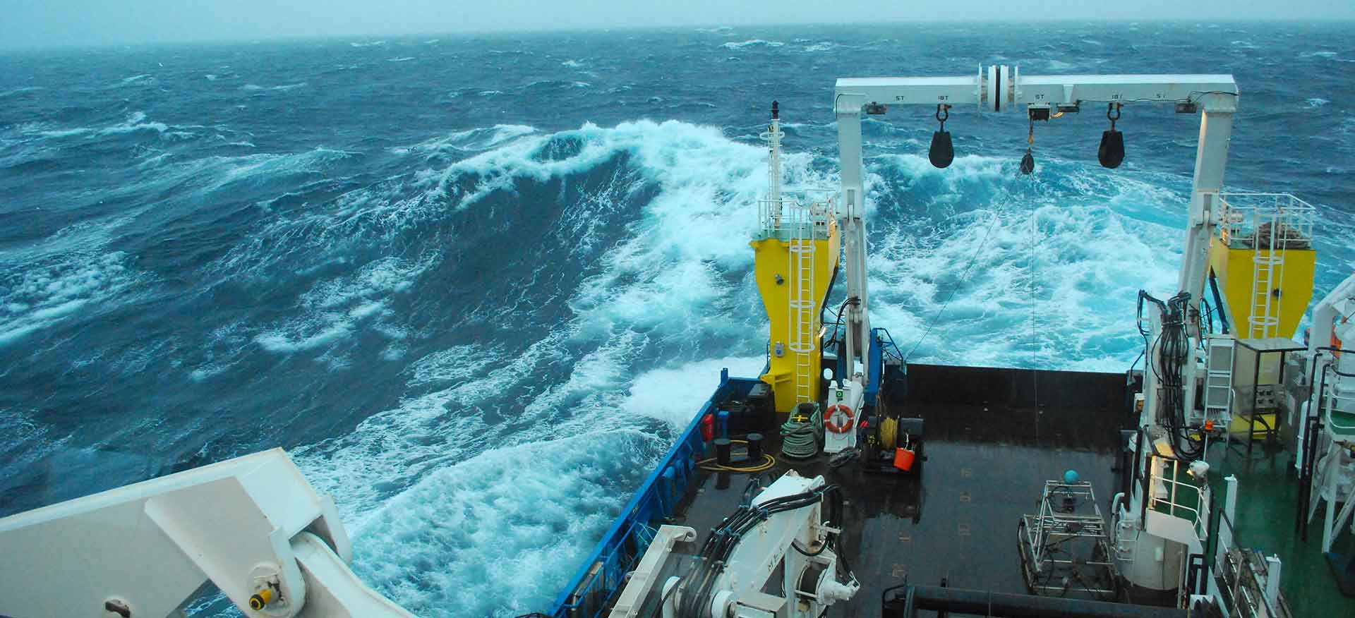
- Seabed survey client representative services
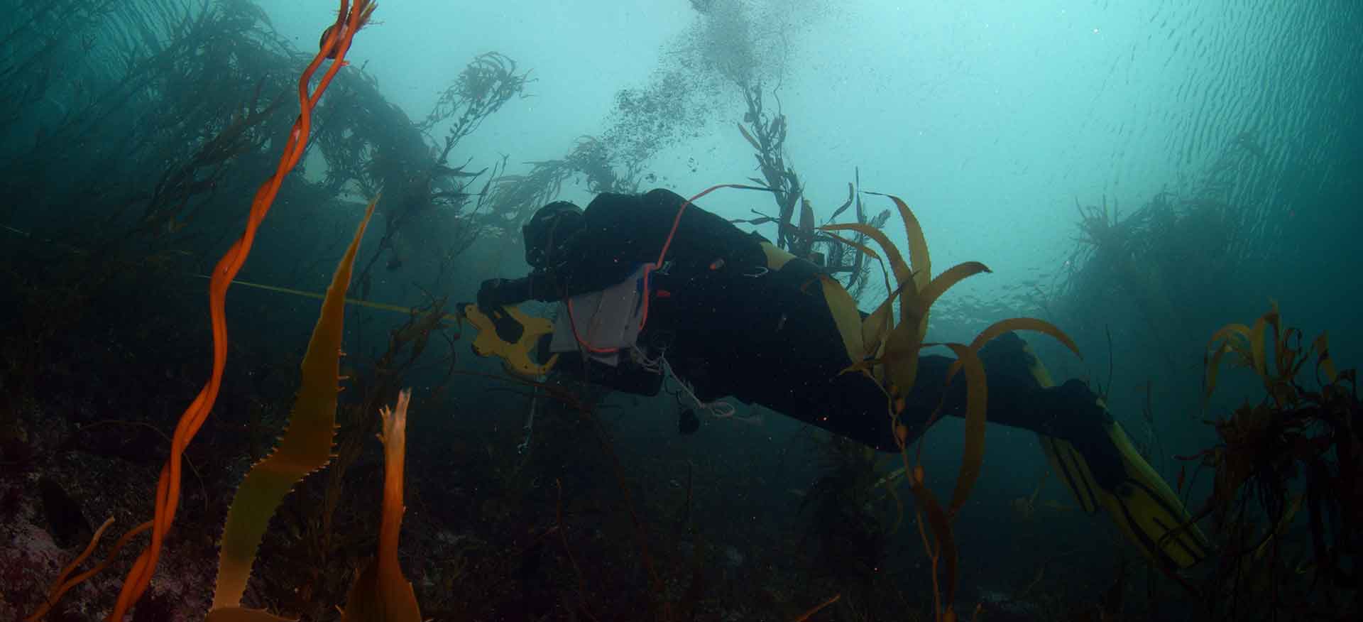
- Scientific diving services
- Videography & photography services
Copyright © 2023 Aquarius Survey & Mapping

