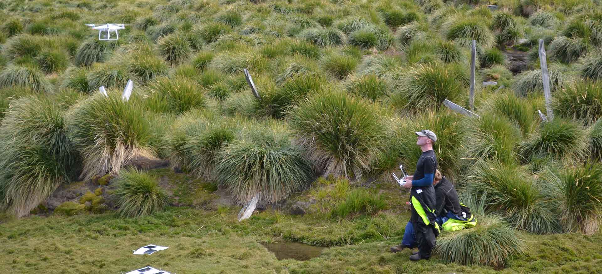
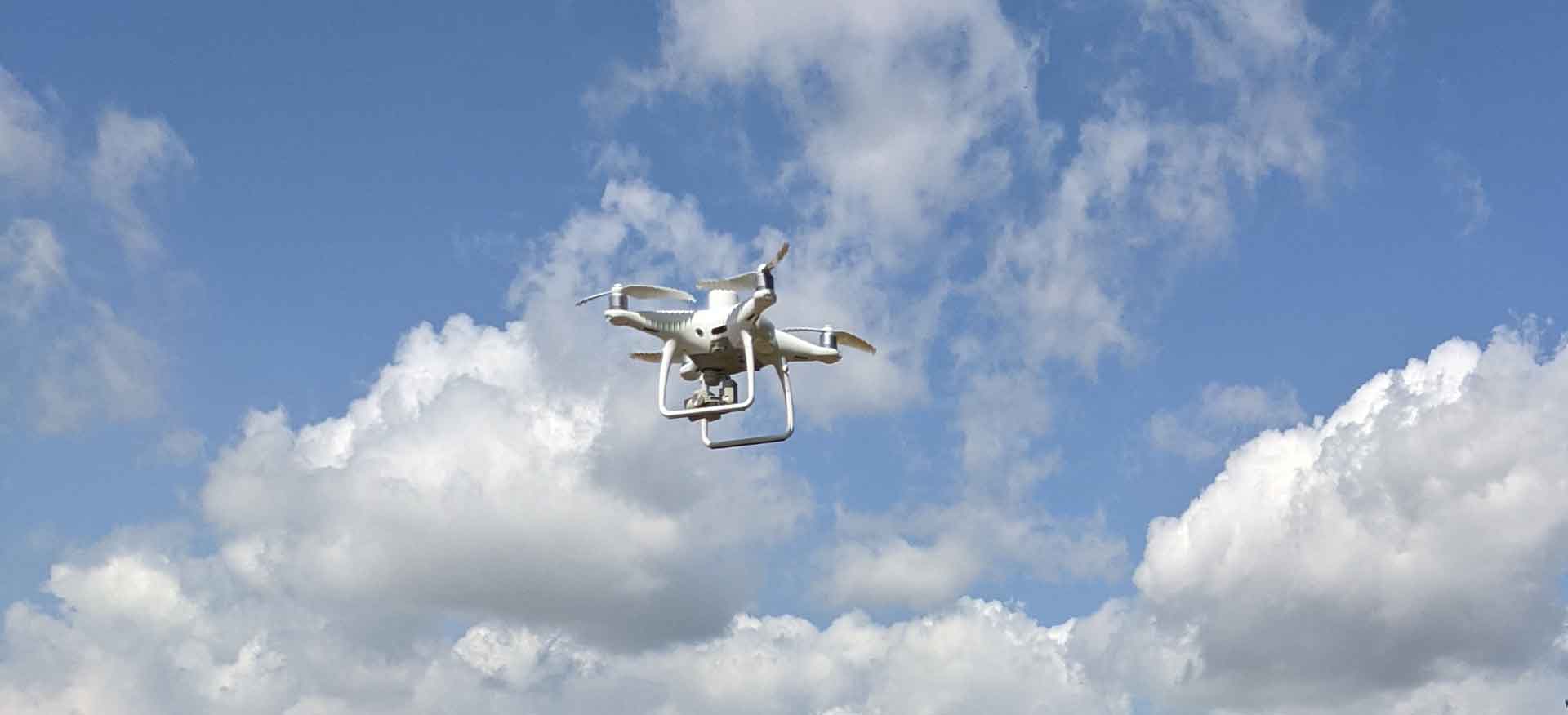
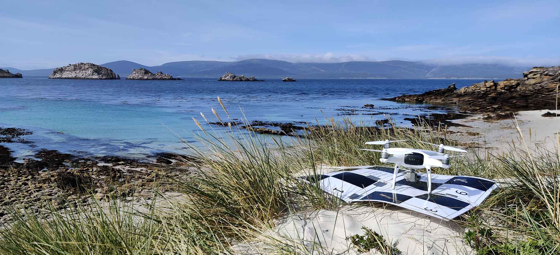
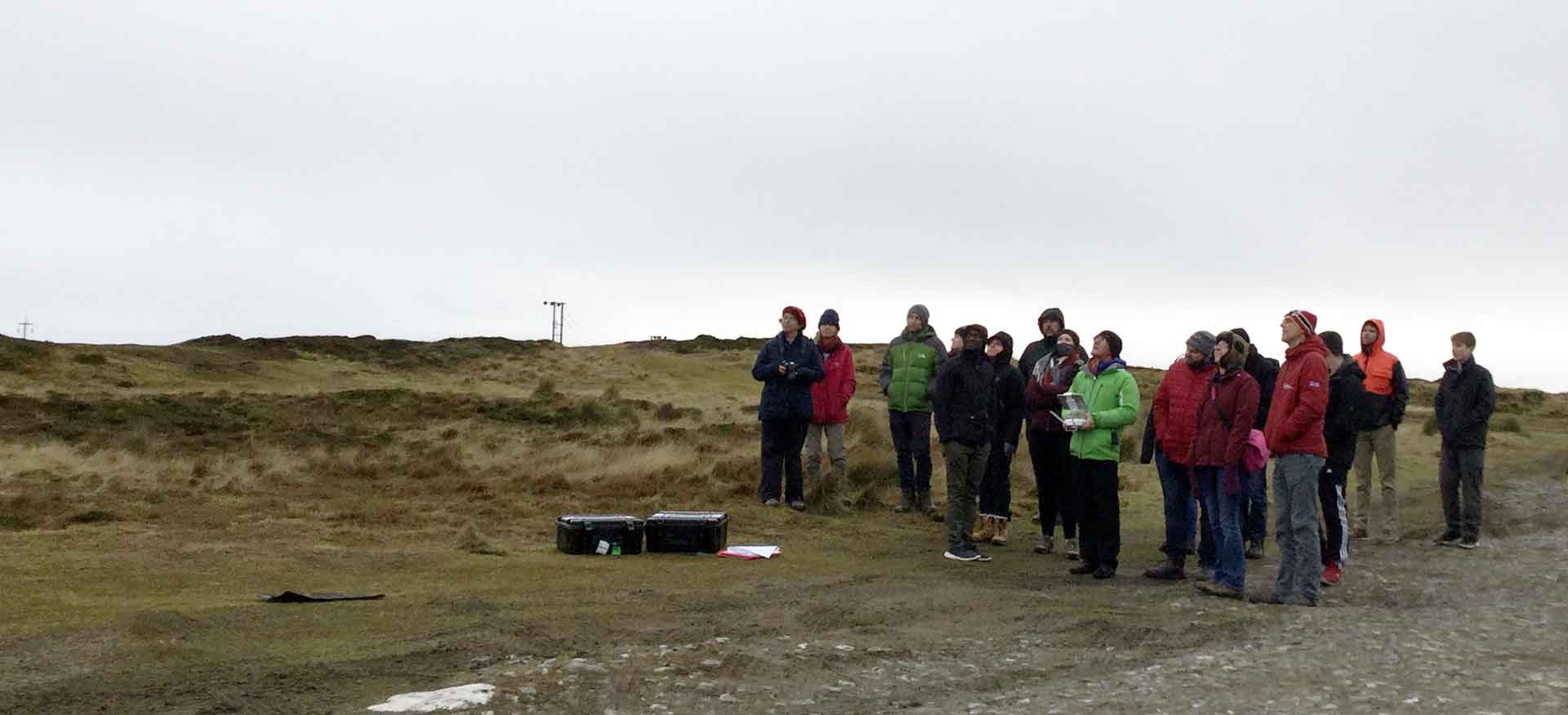
Prior to the creation of Aquarius Survey & Mapping (ASM) whilst working at SAERI, I led a Darwin funded Coastal Habitat Mapping project (DPLUS065) in the Falkland Islands and South Georgia. Here I piloted techniques for the collection of high-resolution aerial imagery using UAVs in challenging environments. The result – a set of fine scale baseline habitat maps in areas prioritised by stakeholders. Supplemented with broad scale habitat maps derived from free to use (EU Copernicus Sentinel satellite imagery) and commercial (Digital Globe WorldView), this project established a first of its kind set of remote sensing baseline coastal habitat maps for the Falkland Islands and South Georgia.
Habitat/landcover modelling & mapping

