UAV-based photogrammetry surveys
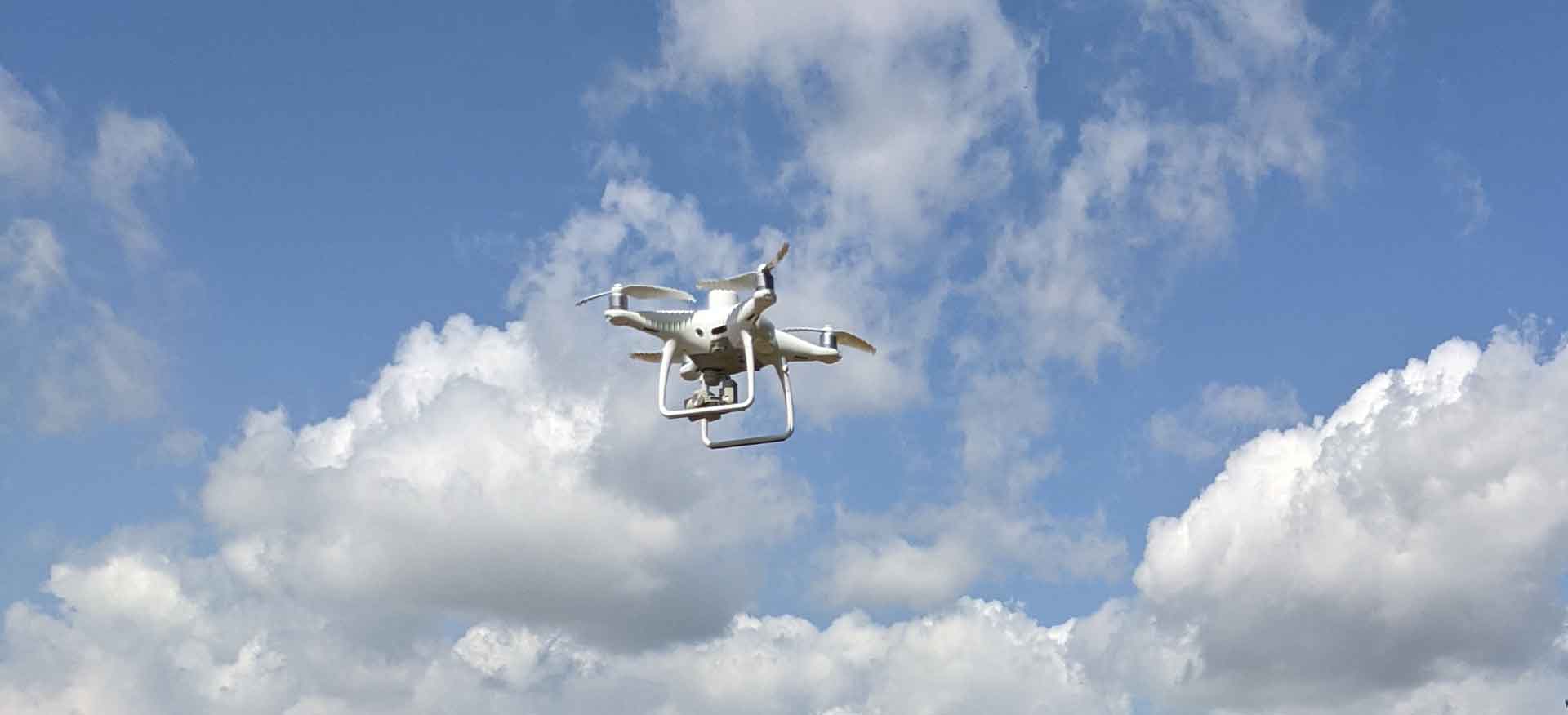
Photogrammetry is a surveying technique that uses photographs to create detailed 3D models of real-world objects. Unmanned Aerial Vehicles (UAVs) have revolutionized photogrammetry by making it possible to collect high-quality aerial imagery quickly and efficiently.
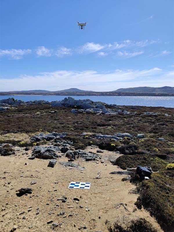
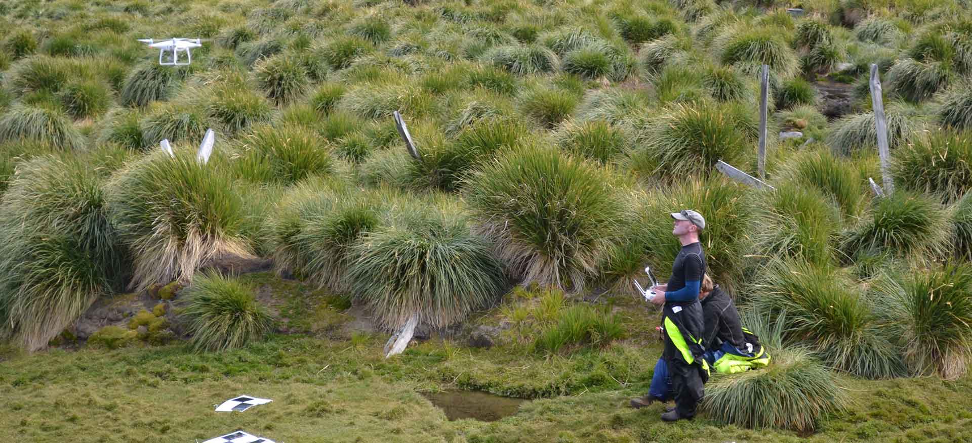
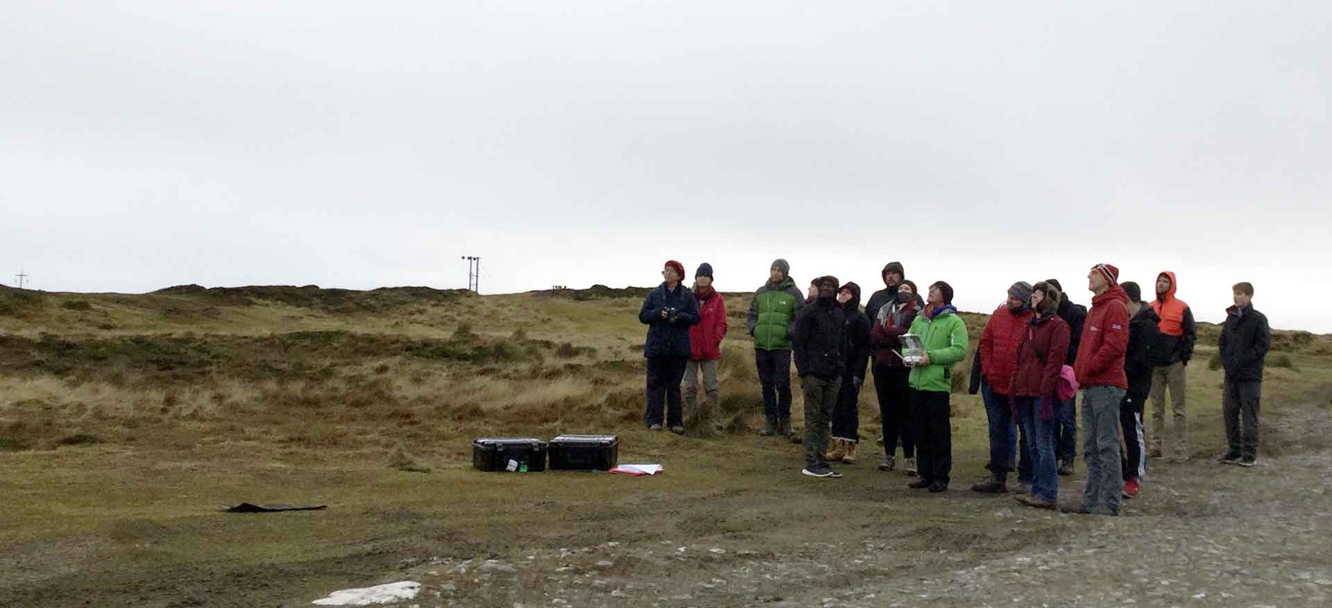
Prior to the creation of Aquarius Survey & Mapping (ASM), whilst working at the South Atlantic Environmental Research institute (SAERI), Neil Golding managed a Darwin-funded Coastal Habitat Mapping project (DPLUS065) in the Falkland Islands and South Georgia. Here, he piloted techniques for the collection of high-resolution aerial imagery using UAVs in challenging environments (e.g., severe weather, difficult terrain, airspace restrictions and minefields).
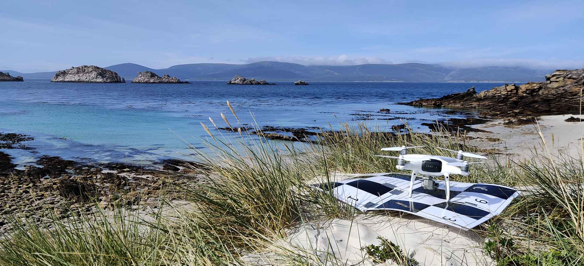
Since then, ASM have successfully led a range of UAV-based photogrammetry surveys for a variety of clients; from seabird colony surveys in the Turks & Caicos Islands as part of the Darwin DPLUS 164 research project, through to the acquisition of aerial imagery supporting fine scale habitat mapping as part of the Falkland Islands new port development in Stanley harbour. We are at home operating UAVs from a variety of platforms on land and at sea.
Get in touch with us today to discuss how we can get your project off the ground.

