South Georgia Archaeological Project
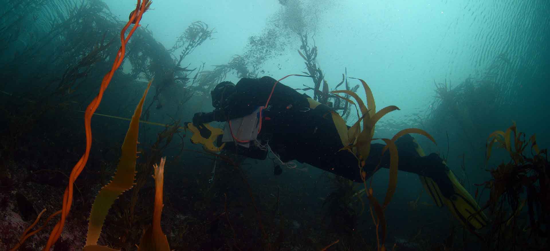
From 2017 to 2019 prior to the inception of Aquarius Survey & Mapping when it was just an idea in the back of his mind, Neil Golding (as Project Manager) led the Darwin (DPLUS065) Coastal Habitat Mapping project of the Falkland Islands and South Georgia, based at the South Atlantic Environmental Research Institute (SAERI) in Stanley, Falkland Islands.
The Coastal Habitat Mapping project was a three-year project which brought together expertise from a range of organisations across the globe. SAERI as the lead partner worked with Oregon State University, the UK Joint Nature Conservation Committee, Shallow Marine Surveys Group, Falkland Islands Government and the Government of South Georgia & the South Sandwich Islands to deliver the project, which was grant aided by the Darwin Initiative through UK Government funding.
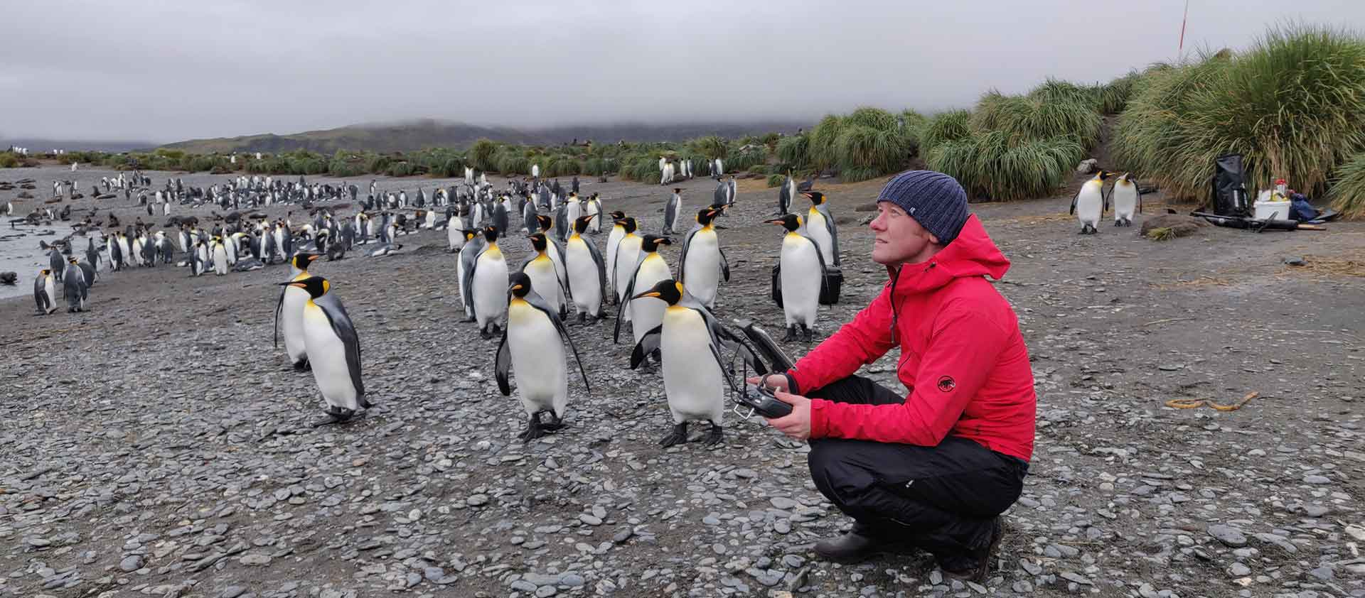
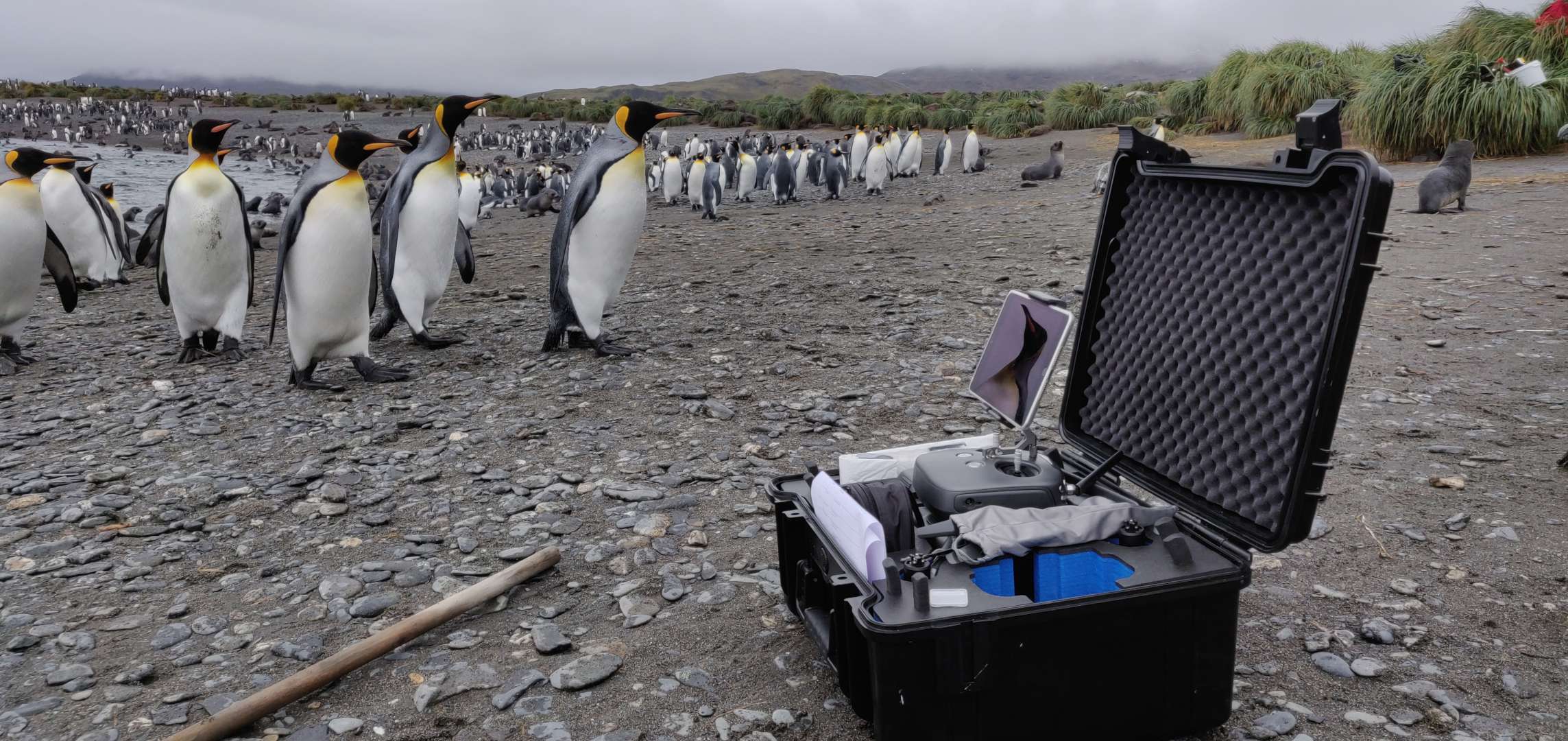
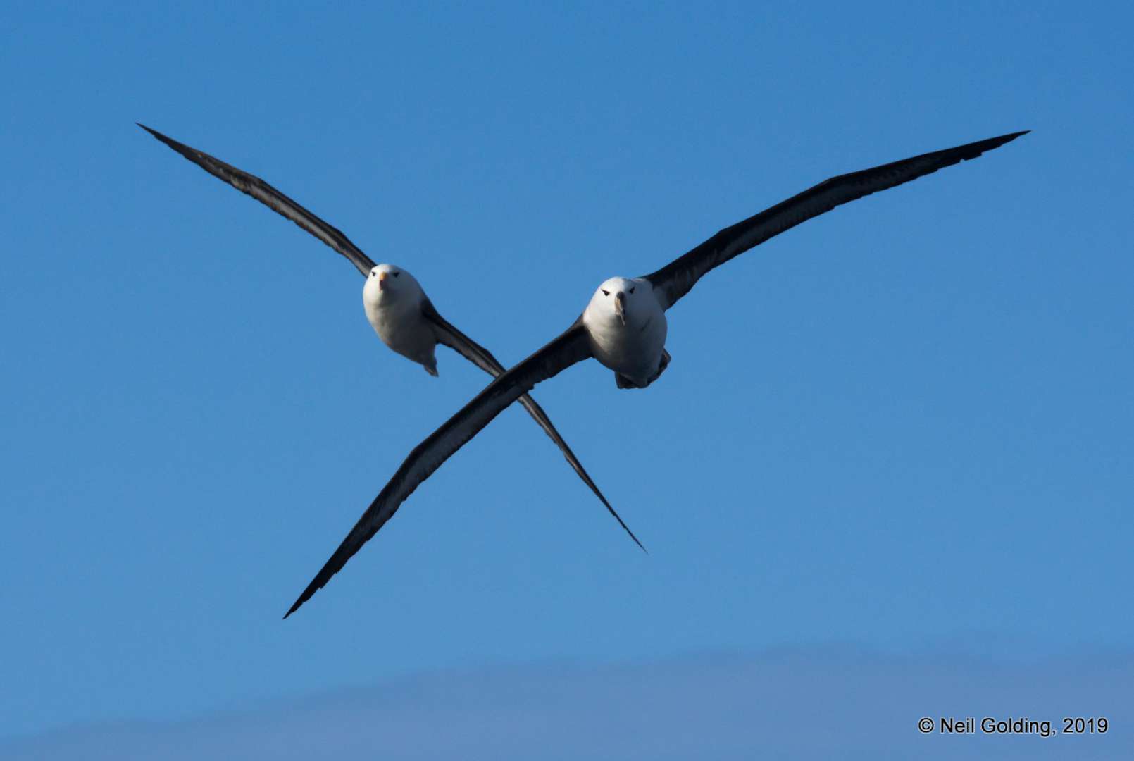
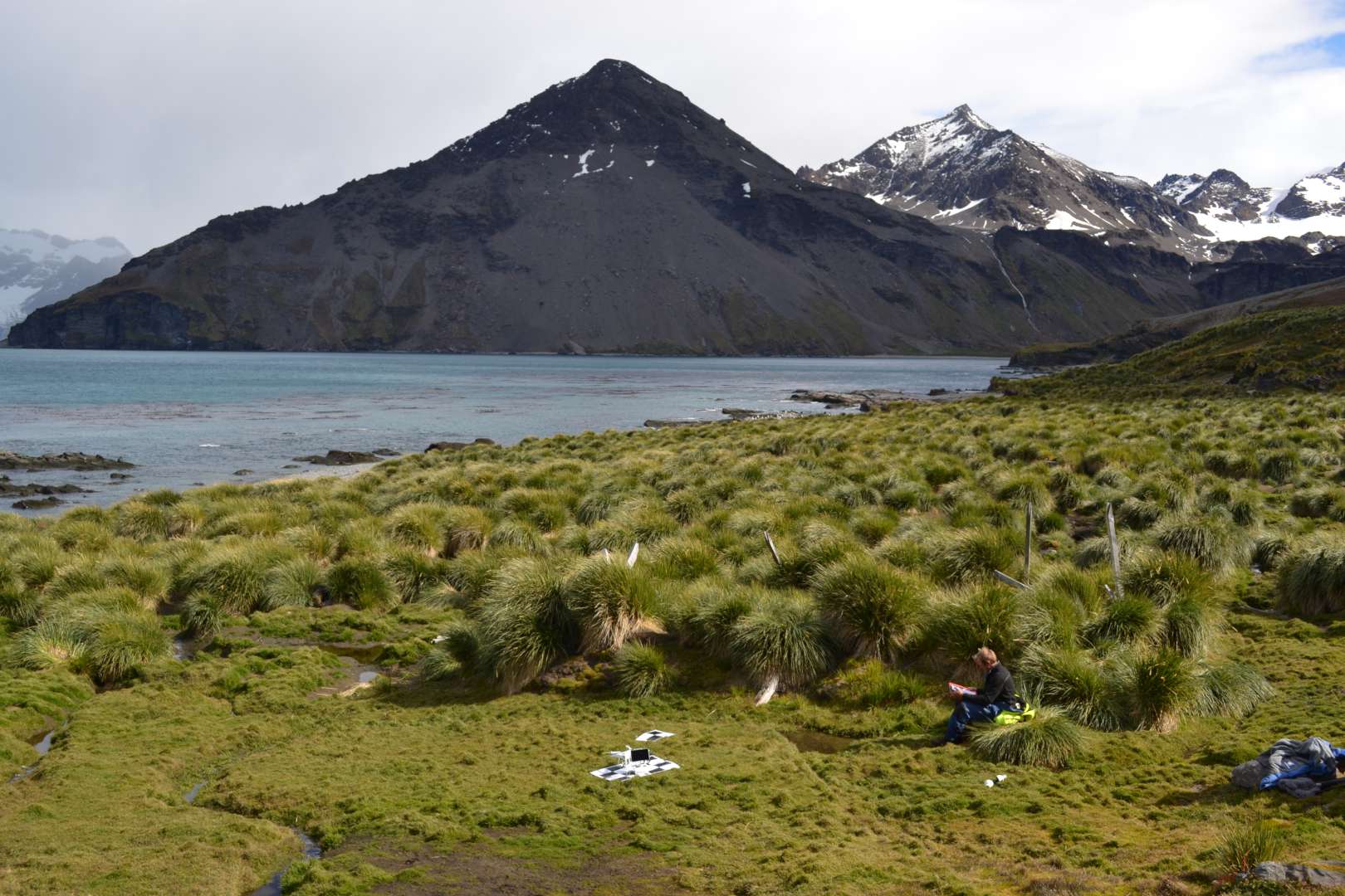
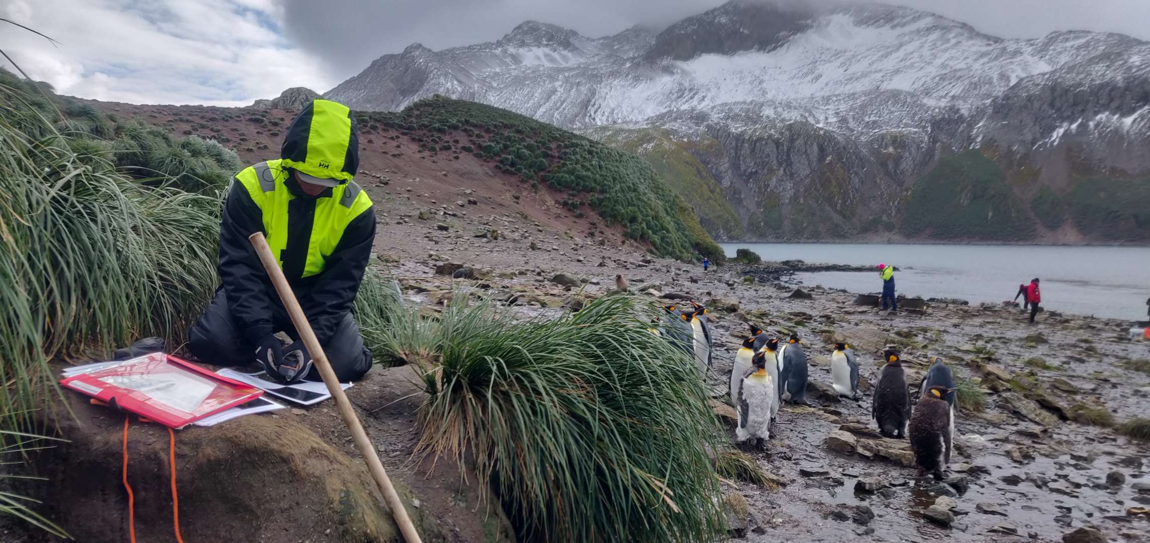
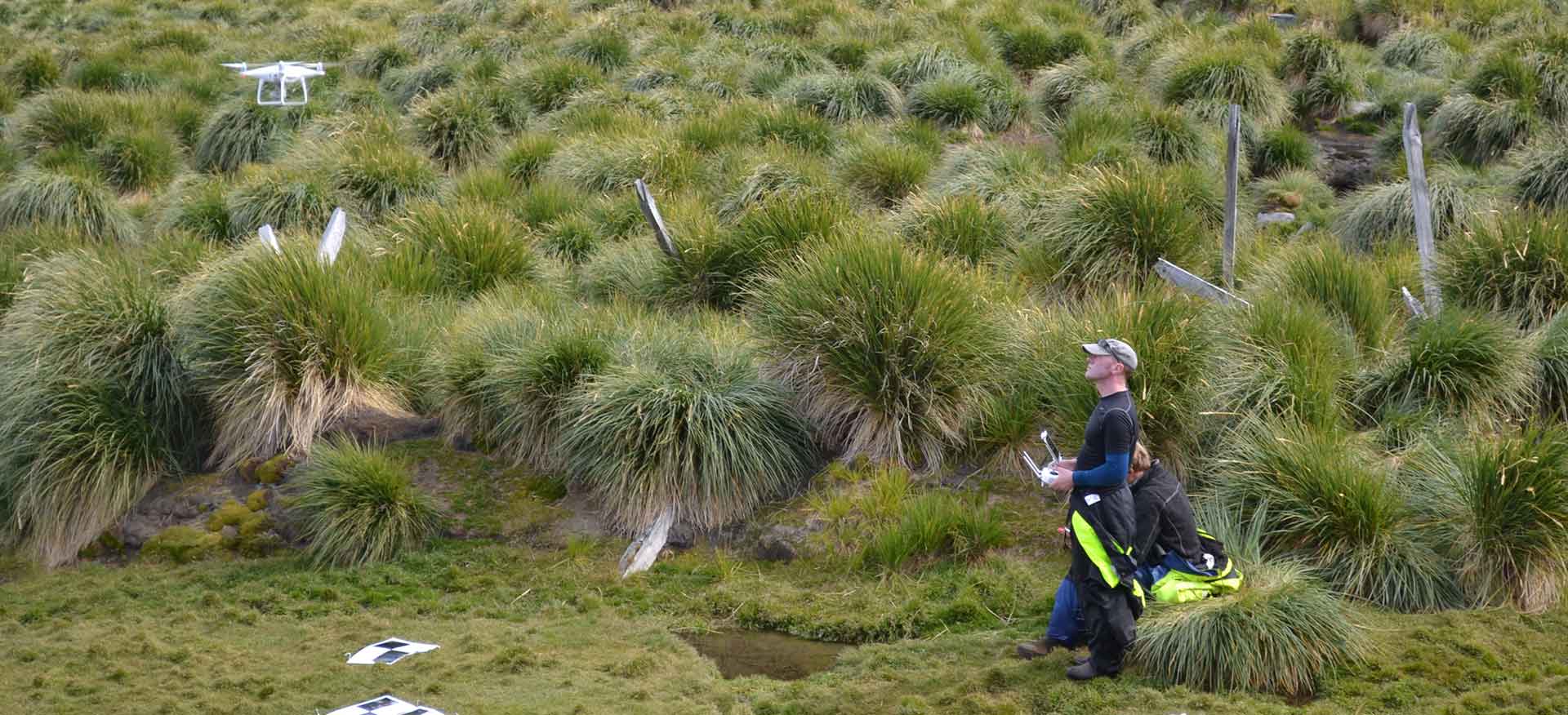
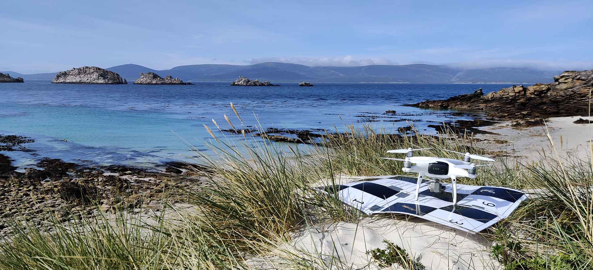
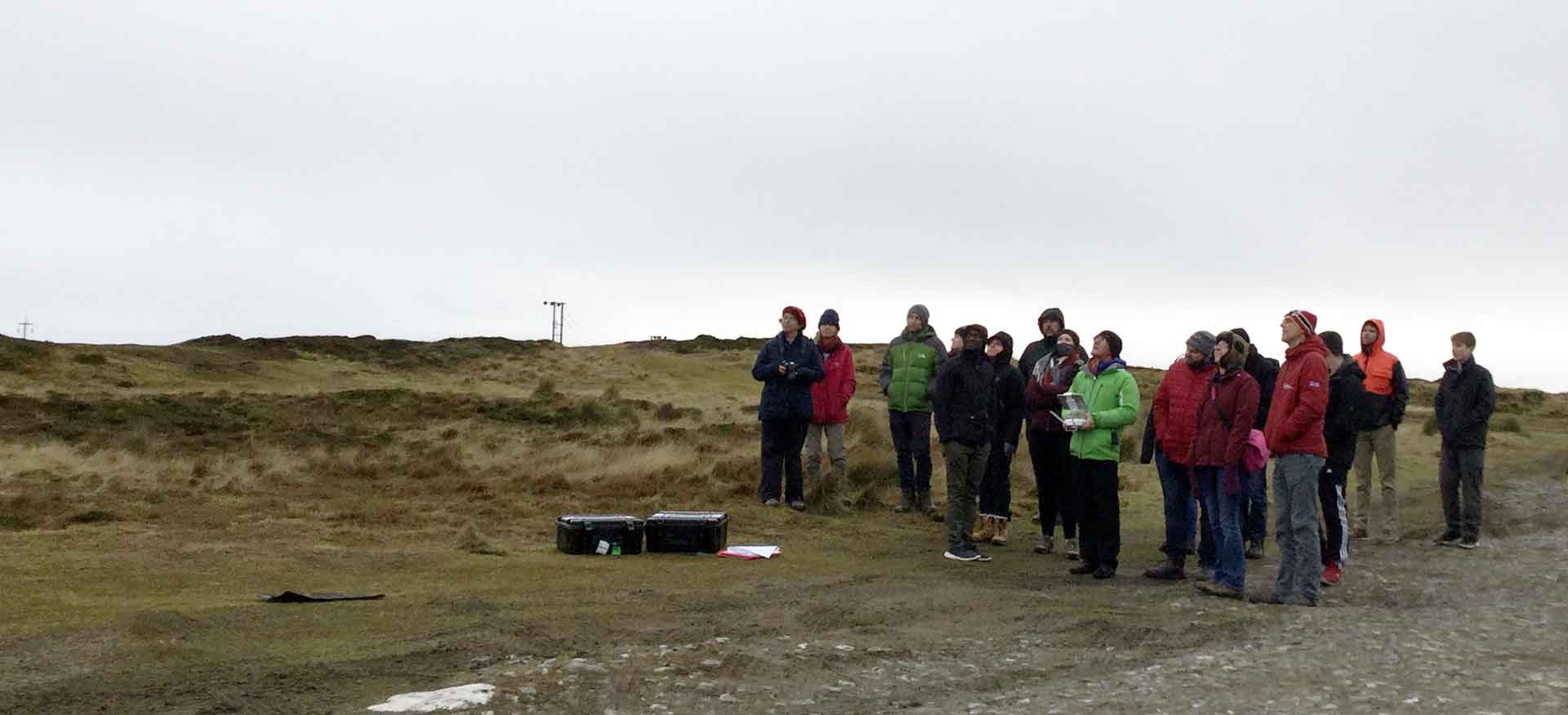
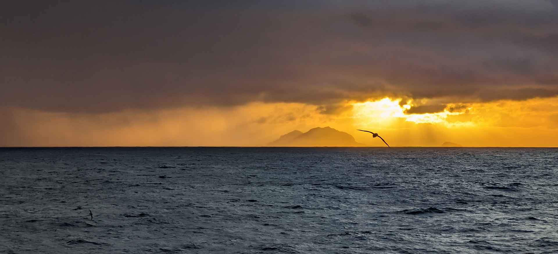
Neil was invited to join the South Georgia Archaeological Projects expedition to South Georgia to support their research through the acquisition of high resolution Unmanned Aerial Imagery. During the expedition, Neil worked with DPLUS065 project partners and the Cambridge Archaeological Unit to deliver stunning imagery from locations such as Bird Island ………
Project Details
One month expedition.

