Environmental Assessment of Landslides on Tristan da Cunha
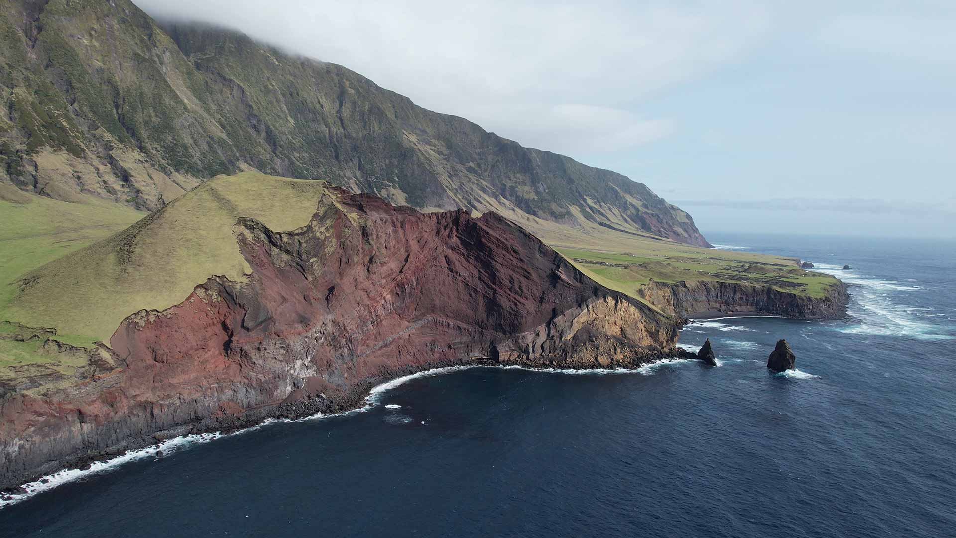
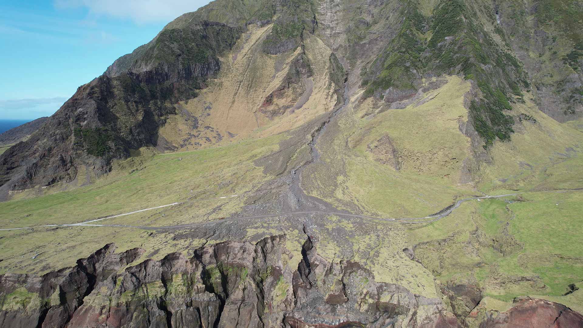
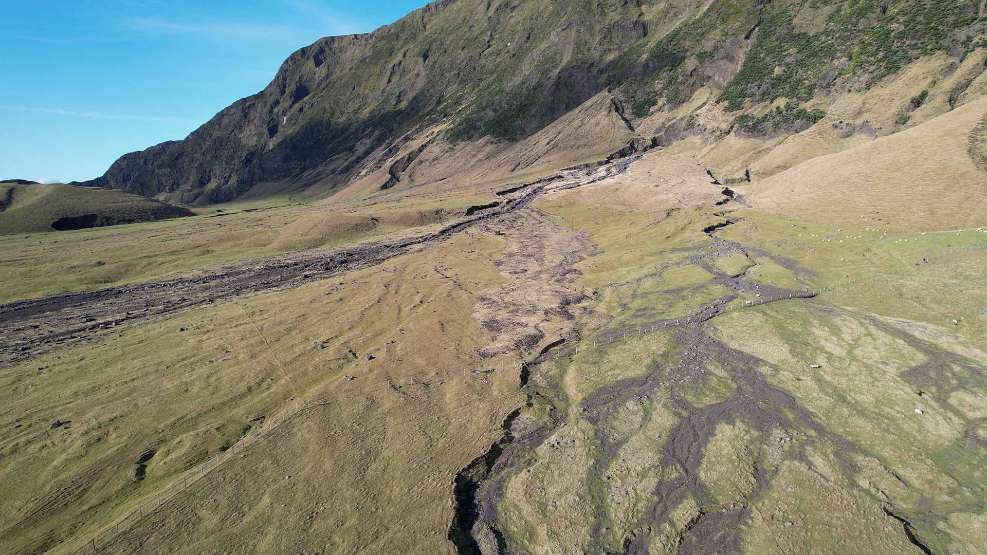
Aquarius Survey & Mapping led the Unmanned Aerial Vehicle (UAV) – based topographic and habitat mapping element of a collaborative research project with the British Geological Survey on the UK Overseas Territory of Tristan da Cunha. The aim of the project was to gather a baseline dataset of landslide information from several priority areas where mass movements (example below of landslide at Jennys Watron) have affected, or pose a risk, to lives and livelihoods.
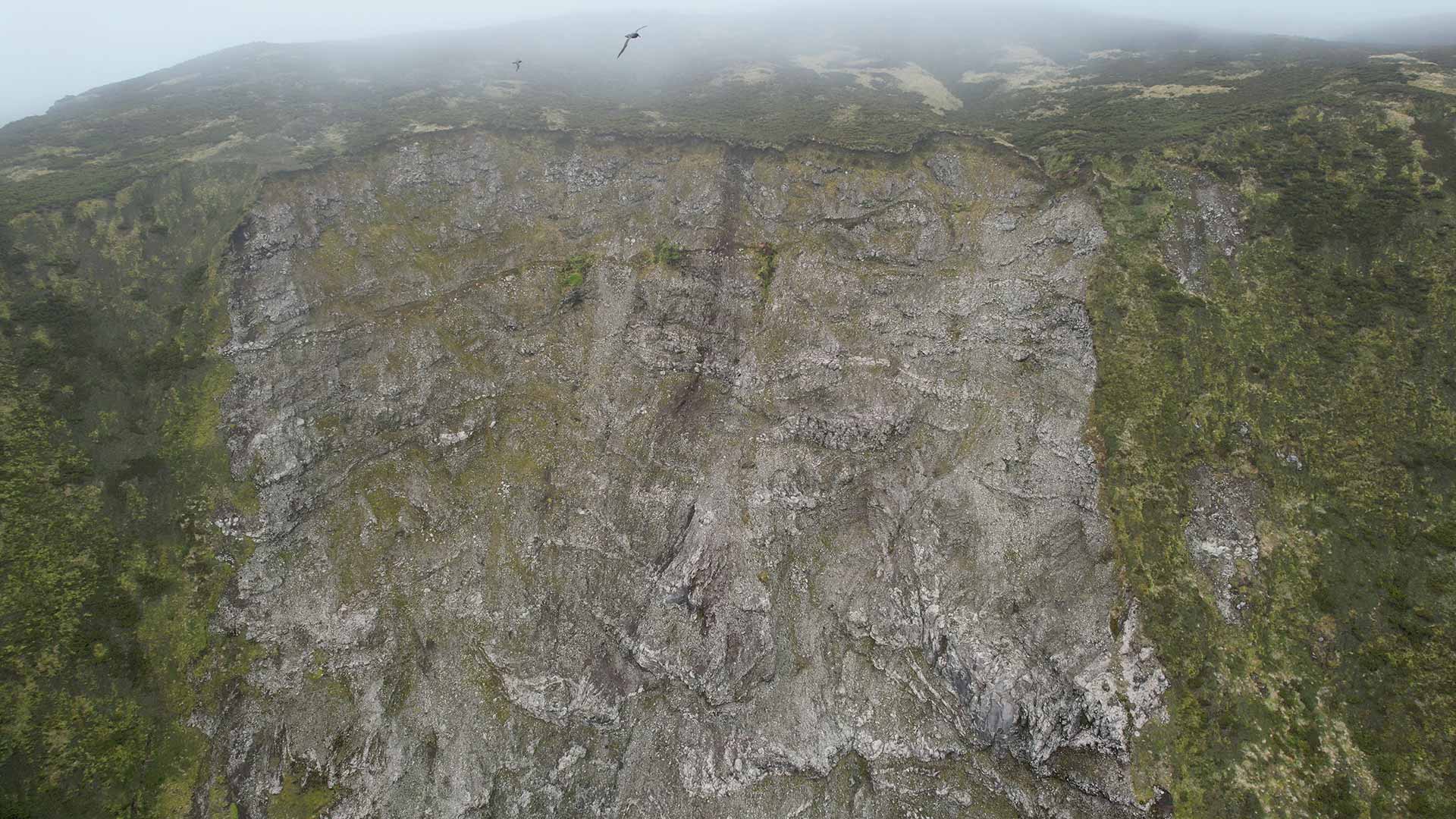
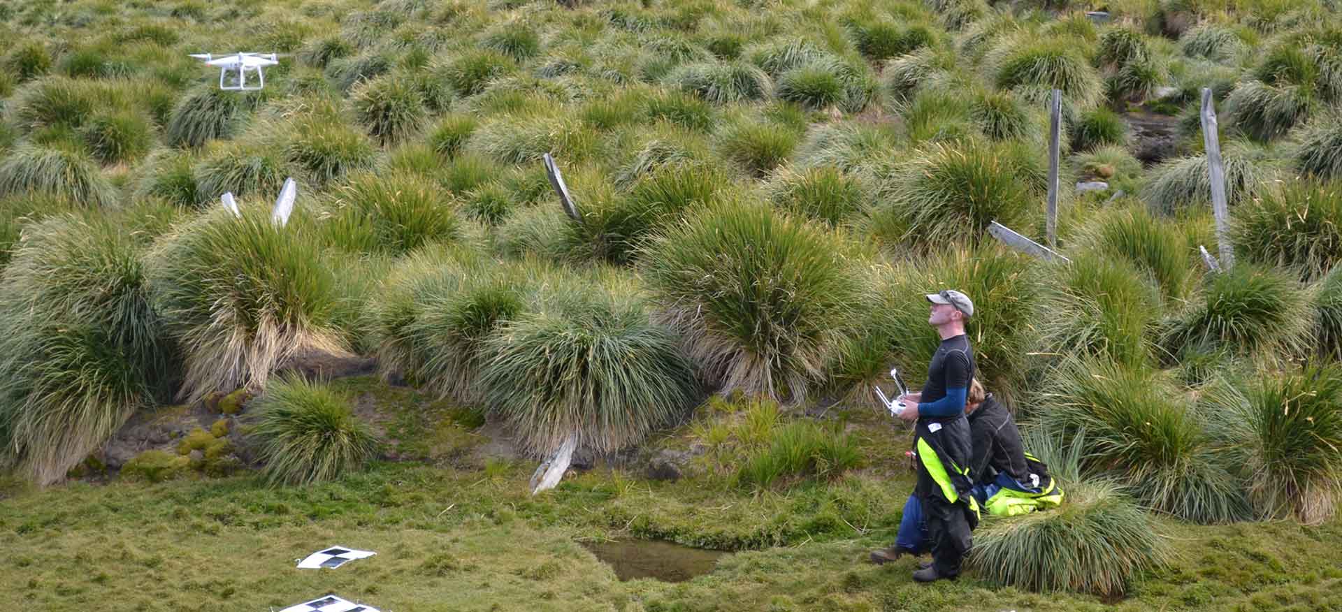
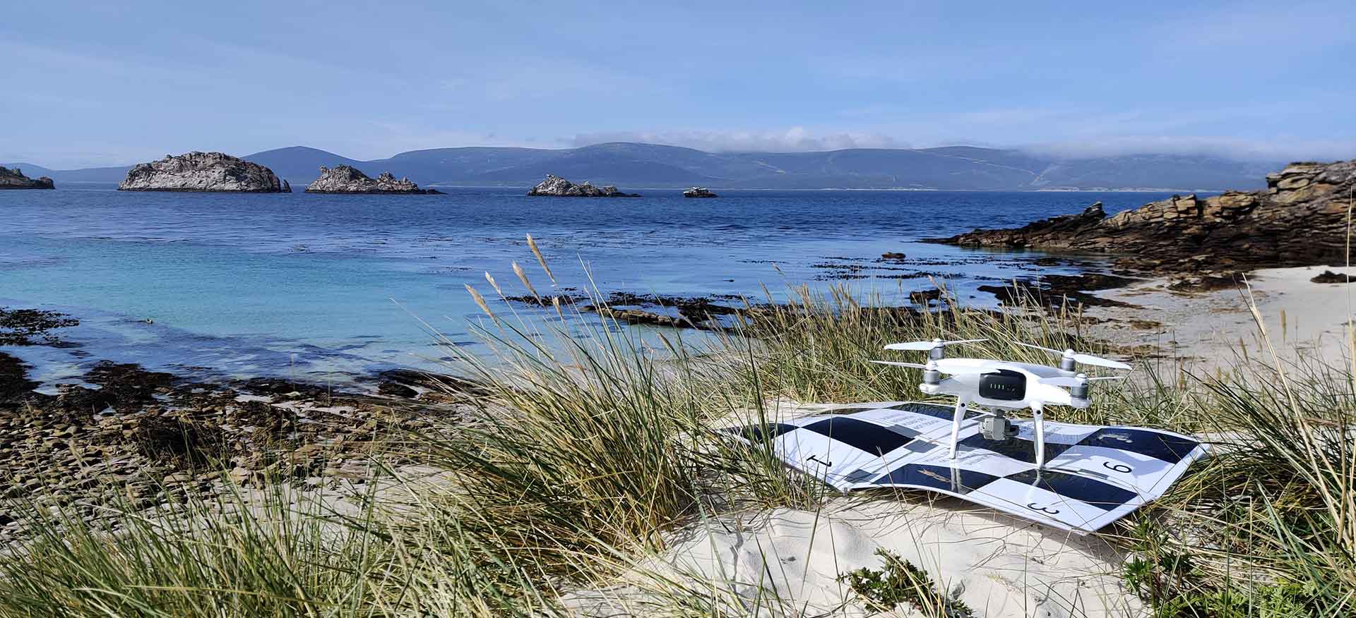
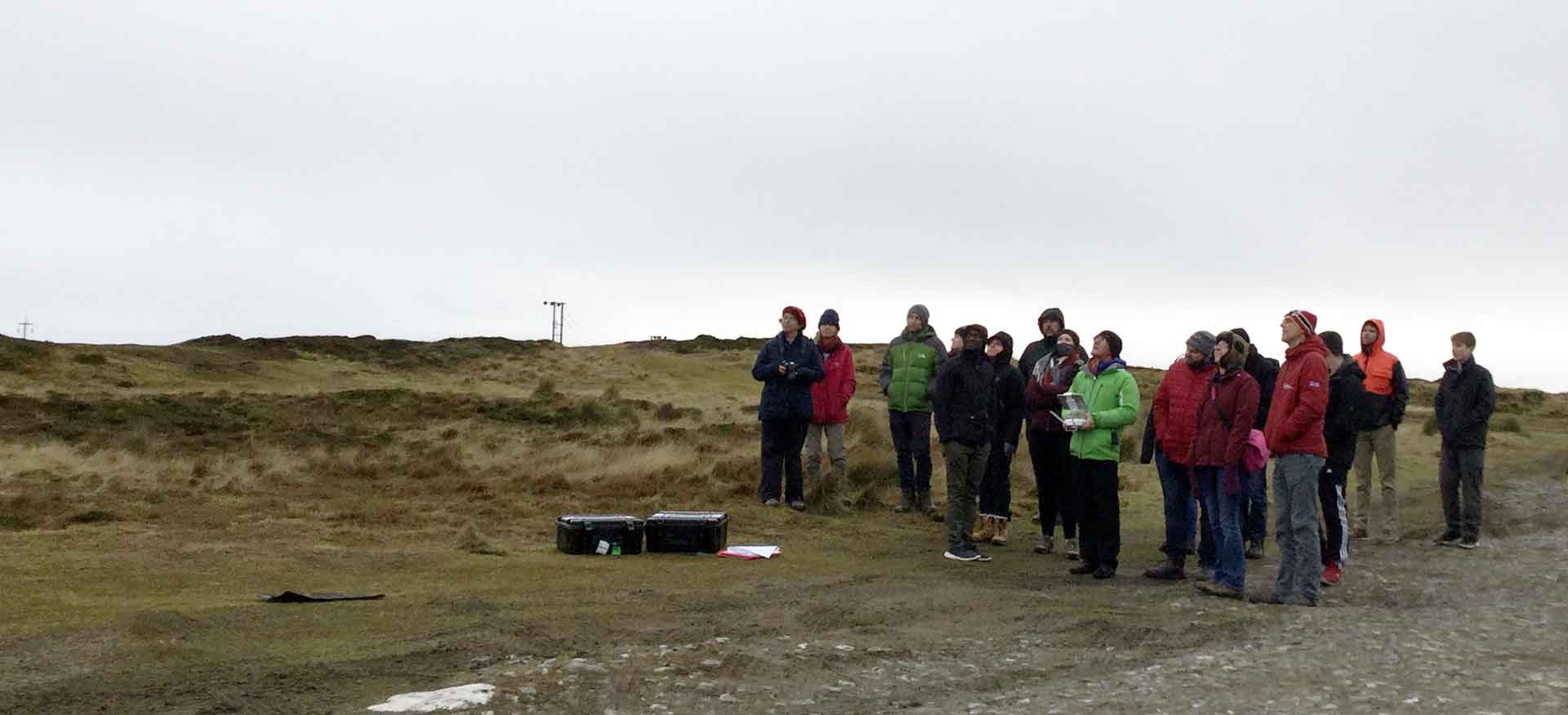
Aquarius Survey & Mapping completed a high resolution UAV mapping survey with ground control over three priority areas agreed with the Tristan da Cunha Government; the Settlement Rockfall and Hottentot Gulch, Jenny’s Watron, and Wash Gulch. The resultant detailed topographic baseline dataset was then simultaneously integrated with in-situ geological mapping and sampling, and then combined with high resolution satellite data to create new debris flow and rockfall models by the British Geological Survey. In addition, fine scale habitat models for the three areas were also developed, which together provide a more comprehensive view of relationships between the surficial geology and ecology (soils and flora), with the deeper geological horizons.
Project Details
Working with the British Geological Survey on behalf of Tristan da Cunha Government and the Foreign, Commonwealth & Development Office (FCDO).
18 months

