UAV Habitat Mapping on the Turks & Caicos Islands
Aquarius Survey & Mapping led the terrestrial element of a baseline mapping project, utilising Unmanned Aerial Vehicles (UAVs) to undertake high resolution habitat mapping in the Turks & Caicos Islands (TCI), a United Kingdom Overseas Territory. The UAV mapping, undertaken by ASM on behalf of SAERI (Falklands) Limited (SFL) was part of a wider project being led by SFL undertaking a Receptor Sensitivity Assessment for Turks & Caicos Islands Government (TCIG).
Neil Golding worked with a field team from SFL alongside TCIG representatives during the project.
The UAV mapping side involved working in a challenging environment directly adjacent to Providenciales International Airport (PLS), requiring permitting and good communication protocols with TCI Civil Aviation department and the Air Traffic Control tower. Various missions were flown in a variety of locations agreed by the client, capturing aerial imagery at a resolution of <4cm /pixel. In-situ ground validation of the mapped areas was undertaken and then integrated into the habitat modelling workflow. Machine learning algorithms were a key part of this modelling workflow and the outputs included a confidence assessment of the habitat mapping products.
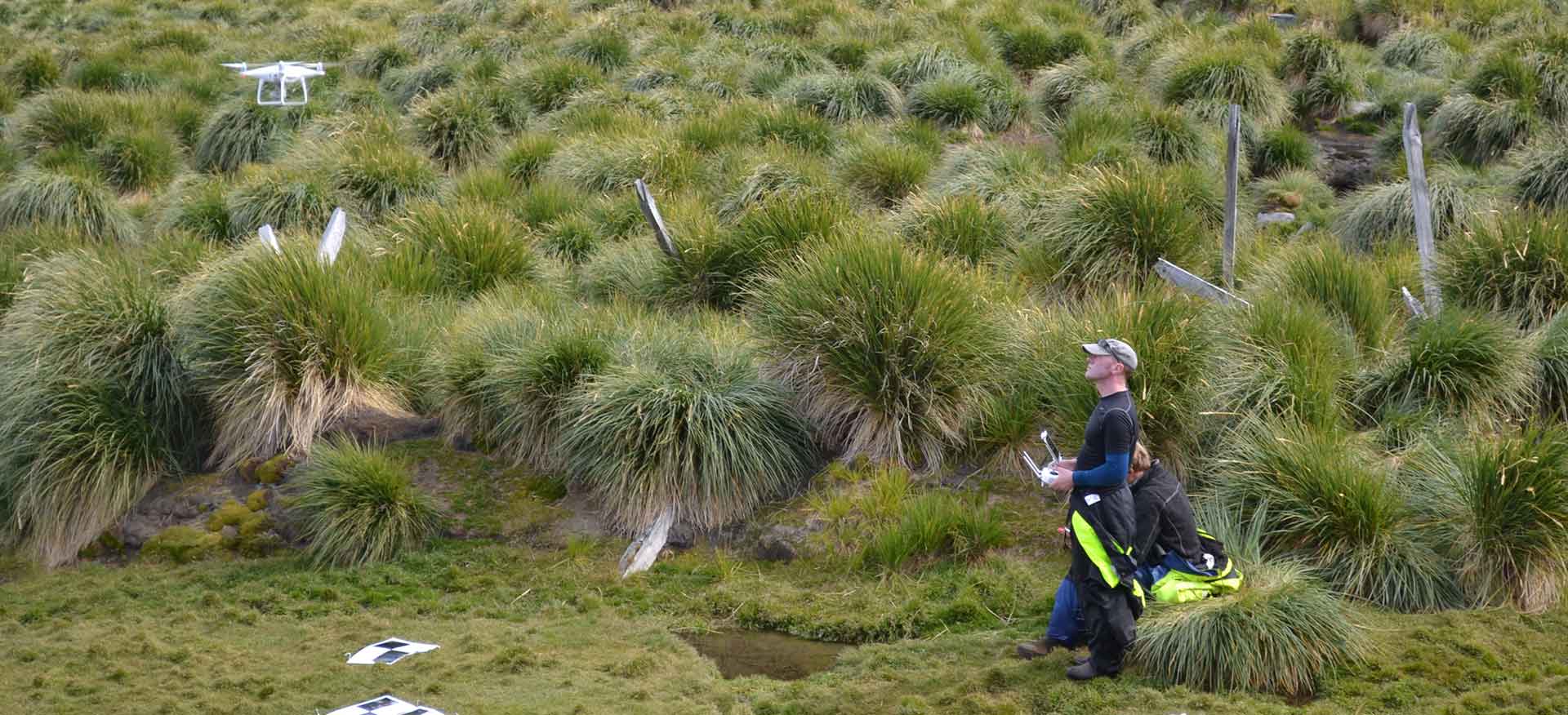
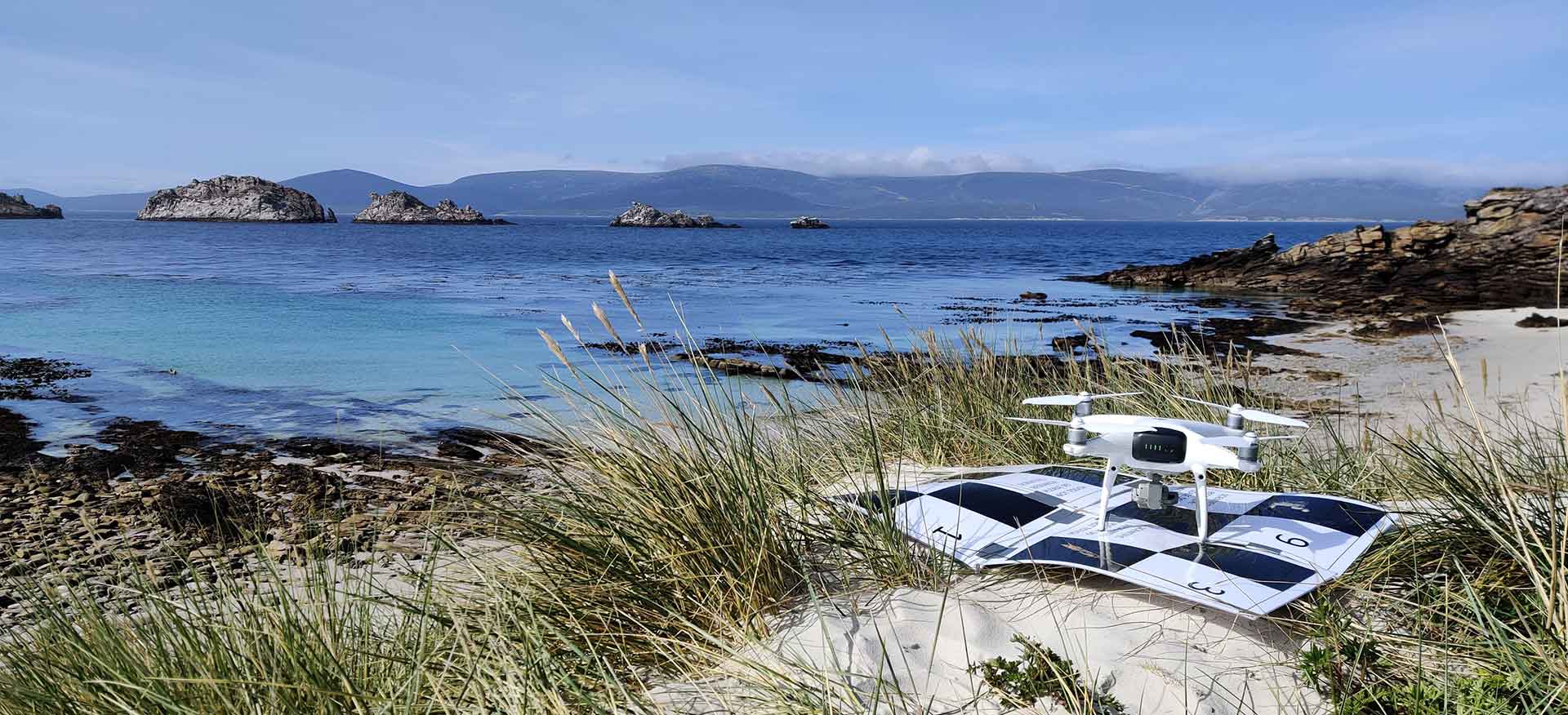
While the UAV mapping outputs from the project are Commercial In Confidence, images from the UAV field work can be seen below in the project gallery.
Project Details
Working with SAERI (Falklands) Ltd (SFL) on behalf of the Turks & Caicos Islands Government (TCIG)
One Year.

